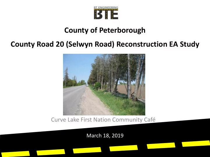

County of Peterborough County Road 20 (Selwyn Road) Reconstruction EA Study Curve Lake First Nation Community Café March 18, 2019
Project Introduction • The County of Peterborough initiated this Environmental Assessment (EA) Study for the reconstruction of CR20 from CR18 to CR23. • The Recommended Plan will include recommendations covering: • Cross-section, intersection, drainage and cycling facility improvements • Phasing of the reconstruction including interim rehabilitation alternatives
EA Approach • The study will complete all necessary phases of the Municipal Class EA (Schedule C) – Reconstruction of new roads or other linear paved facilities (e.g. HOV lanes) > $2.4 M
Class EA Process
Work Program Phase 1 - Step 1 Data Collection • Project Start-up • Information Gathering • Study Design Phase 2 - Identify Constraints and Opportunities • Community Café to identify Constraints and Opportunities • Public Information Centre to present Alternative Solutions • Environmental Review • Development of Corridor and Intersection Improvements • Development of Interim Improvements
Work Program Phase 3 - Develop Preliminary Design Alternatives • Cross-Section • Intersection • Cycling • Drainage Phase 4 – Environmental Study Report • Preparation of Draft and Final Report • Documentation of Methodology, Findings and Recommendations
Study Area
Study Design • A Draft Study Design document was prepared to describe the study’s process and work plan • The Draft Study Design is available for review on the County’s website: www.ptbocounty.ca/construction
Key Issues
County Road 20/Selwyn Road Issues • Intersection is in a 50 km/h zone but vehicles do not operate at this speed • Operational improvement alternatives to be reviewed • Intersection located with a crest curve to the east • No existing facilities for cyclists/pedestrians • Recommendation of the ATMP plan is for paved shoulders • Posted speed transitions to 80 km/h immediately east of intersection • To the west there is a transition zone into urban Bridgenorth which uses chevrons
County Road 20/Selwyn Road Issues • Pavement edge breakup – high maintenance costs can be reduced by the use of paved shoulders • Poor pavement condition - rolling, edge break-up and rutting of travel lanes • Safety of horizontal and vertical curvature on north approach to Country Road 18 intersection • Osprey nest on Bell / Hydro pole • High volume of heavy trucks (aggregates) • Tourist destination (Buckhorn and Bobcaygeon) with peak tourist traffic volumes and influx of non-local traffic
County Road 20/Selwyn Road Issues • Areas with eroding backslopes onto agricultural fields • Visibility of field entrances • Areas of narrow right-of-way (66 ft wide) cannot accommodate standard shoulder widths and flat 3:1 foreslopes • Constraints to widening the platform • Safety of Pebble Beach Road (view of crest curve to the south) • Hidden intersections posted at 60 km/h at Long Point/ Holden Road intersection
County Road 20/Selwyn Road Issues • Skew angles of a cross roads – Holden Road • Likelihood for presence of Bobolink, Eastern Meadowlark and Least Bittern SAR on adjacent fields • Specimen trees within ditch line / hedgerows • No daylight triangles at intersections (example Poplar Point Road) • Historic 66 ft (20 m) ROW would be considered substandard for a County Road where 26 m or 30 m are current standards
County Road 20/Selwyn Road Issues • Mature trees within clear zone measured at 7’ - 6” from travelled lane • Mature trees negate effectiveness of winter grit/salt with shade impacting ability of salt to melt ice • School bus drop-off and pick-up • 10th Line /Smith intersection on a curve • No room for ditches affects pavement drainage • Potential for Multi-use Path (MUP) behind hedgerow • Birch Island Selwyn Beach Conversion Area destination
Schedule Task Date Project Start-Up Meeting September 2018 Study Design September 2018 Value Planning Workshop October 2018 Study Commencement Notice October 2018 October – November 2018 Information Gathering Transportation Analysis October 2018 Public Community Café/PIC No. 1 November 2018 CLFN Community Café March 2019 Development of Alternatives Winter 2019 Analysis and Evaluation of Alternatives Winter 2019 March – May 2019 Environmental Review PIC No. 2 Spring 2019 CLFN Community Meeting No. 2 Spring 2019 Preparation of ESR Spring 2019 Public Review of ESR Spring/Summer 2019 Preliminary and Detail Design Spring/Summer 2019 PIC No. 3 (during Detail Design) Spring/Summer 2019
Preliminary Design Alternatives
Intersection Alternatives CR20/CR18
Intersection Alternatives CR20/CR23
Cross Section Alternatives Alternative 1
Cross Section Alternatives Alternative 2
Cross Section Alternatives Alternative 3
Cross Section Alternatives Alternative 4
Community Café
Café Process • Participants will be divided into small groups to allow conversations and dialogue • At the conclusion of a discussion period, participants will be asked to change tables and mix between topics • Participants are free to sit out a session • A recorder will make notes of the discussion of problems and potential solutions, and invoke questions to generate discussion
Café Approach • Focus on dialogue between neighbours • We are here to listen to your values and priorities • Informal discussion of topics • Encouraged to doodle sketches • Build consensus of perspectives • Discussion will be recorded
Sample Doodle
Small Group Discussions
Tonight’s Café Discussion Topics • Context Sensitive Design Approach • Road Safety and Traffic Operations • Curve Lake First Nations Rights Holder Areas of Interest
Recommend
More recommend