
Greg Guthrie R oyal HaskoningDHV Climate Change and Change in flood and erosion risk
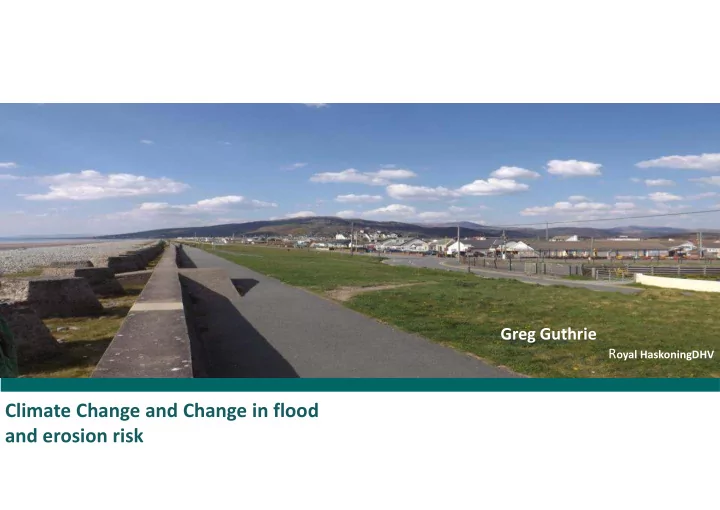
The village of Fairbourne has grown over the last Explain how these changes impact on century, developing over the low lying land within the management. estuary. As development occurred so the need for defence grew. The key risks being managed are: � Rainfall from the high ground flowing through the rivers through the area. � Flood risk from water levels within the estuary. � Pressure of erosion and overtopping from along the open coast. � Ground water, the level of the natural water table. These risk are being managed at present. With Climate Change these pressures will change.
��������������������������������� �������������� Natural every day variation in water levels and rainfall The tide Mean sea level Each day, variation every 14 days between springs and neaps Neap Tides Spring Tides ������������������������������� ���������������������� �������������������������������� ������������������ �� �������������������� �������� Statistical analysis. On average. But can occur at any time.
��������������������������������� �������������� ����������������������������� ������������������������������ ������������������ ������������� ������������������!����������������������������� ����"�����������������������������������"���� ���������#��� Higher water levels – larger waves 30% to 40% increased rainfall by 2070 to 2089 Present day return T20 T100 periods Level m OD 3.9m 4.1m Future (+0.5m) T1 T2 return period Over the next 100 yrs, the rise is likely to be between 0.5m and 2m.
������������������������������������ With 0.3m sea level rise With 0.75m sea level rise With 0.5m sea level rise Present day With 1m sea level rise �������������� ���$�%&'�*������ �������������� ���$�%&'�*������� �������������� ���$�%&'�*������� �������������� ���$�%&'�(������ �������������� ���$�%&'�*����� (#�������) ��(#����������+������������ (#�������) ���) (#�������) %&'!�����������)� Flood risk from rivers 6 hrs 5 hrs Period of tidal locking at 2.35m OD Ground level in relation to mean With increased rainfall and increased tidal locking, there is high water (MHW) increased risk of flooding.
Flood risk from the Ground water estuary The recent work to the embankment have significantly improved the defence > 1:100 Ground water is as expected responding both 0.5m SLR – 0.5m freeboard to rainfall events and the tide. Present day - 1m on T100. freeboard on T100. MHWS. Sea level rise reduces Ground water is this standard of being monitored. defence
Higher water levels – larger waves – greater overtopping
!�� ������"���#�����$������������� ���� !"#$�%&# ���������'��() �����*��*�'���() +�������,-���� �������$� ������.�����%&# ,-���� ���&���'��() ,-���� ���*��*�'���() ���� ���� ���� $ # " � ���� � ���� ���� ���� ���� ���� ���� ���� ���� ���� ���� ���� ���� ���� ���� ���� ���� ���� ���� ���� ���� ���� ���� ���� ���� ���� ���� ���� ���� ���� ���� ���� ���� ���� ���� ���� ���� ���� %��� ��� �������� �������� ���� ������� ����� ����� �� �� �������� ���������� ����������������� ����������� ����������� ����������� ������� ���������� ������������������ ����������������������� ������������ ������������ ���������� ���������� ����������������� ������������� ������������ �������������� ���������������� ���������� ����������������� ������������������� ������������� ��������������� ������� ���������� �������� �������� �������� �������� ������������ ���������� � ������ � ����� ������ � ��� ����� ������ � ��� ����� ���� ������� ��� ����������������� ��� ����������������� ��� ���� ���� ���������� ������� ���������� ������� ���� ����
Recommend
More recommend