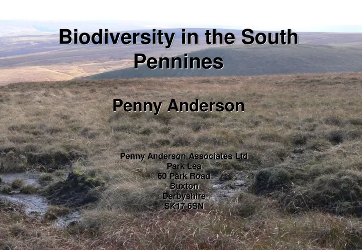

Biodiversity in the South Pennines Penny Anderson Penny Anderson Associates Ltd Park Lea 60 Park Road Buxton Derbyshire SK17 6SN
1913 ‘ The cotton grass moors are extensive, dreary and monotonous. Hare’s -tail cottongrass is frequently the only vascular plant which occurs ’. Moss, Vegetation of the Peak District ‘ The Hare’s -tail cottongrass community presents a depressing spectacle over the summits between the great industrial conurbations of Lancashire and Yorkshire: fringed by numerous reservoirs and cut through by arterial roads, vegetation and peat are often coated in grime and even the sheep look grey’ Rodwell NVC M20
A Healthy Peatland Lost or reduced – cranberry, bog asphodel, club mosses, sundews, deer-sedge, Sphagnum and other mosses, royal fern, bog rosemary- described as abundant 1835, common on heaths and moors 1859 (Grindon) and gone from many localities within last 30 years in 1888 (Lees)
Change over time Farey 1815 – upland mosses – ‘ formed of great accumulations of the grey bog-mosses, ( Sphagnum palustre ), common cottongrass, marsh horsetail ( is this hare’s tail?), heaths, rushy bents and other small aquatic plants growing on the edges and wetter parts of the most black and rotten of these elevated peat mosses’.
History of South Pennines • Until 1300AD, Sphagnum abundant/dominant in blanket peats and hummock-hollow and ridge-pool surface patterning present from c. 2000BP • Then hare’s -tail cottongrass more abundant, Sphagnum declined • Co-incident with charcoal in profiles – regular burning from 14 th century, possibly also climatic fluctuations • Little Ice Age 1500-1850, wetter, colder – possibly more erosion • First main gullies 400-500yrs old • Human interference?
The factors involved: Grazing • Problem more since sheep became dominant grazer + all year grazing – c.1550 S Pennines • 3x increase sheep stocking levels 1930s to 1980s and first ESA • Overall effects – >0.5sheep/ha – reduction in heather & increased cottongrasses • 0.75sheep/ha increased heath rush, reduced cottongrasses • Trampling/ pulling out?
Overgrazing/Stock Type
Air Pollution 1 Loss of Sphagnum for c.200yrs
Total Deposition of Oxidised Sulphur to Blanket Bogs 1880 – 1991 Changes in gaseous or ionic concentrations of Location Deposition of major air pollutants in wet oxidised S – kgS/ha deposition at Wardlow Southern Pennines 6400 Northern Pennines 1580 70 Central Scottish 1000 60 Gas Concentration (ugram m -3 ) Highlands 50 NW Scotland/Ireland 400 Ozone 40 NO2 30 SO2 Acidification of peat <3.5 20 many Sphagnum and other species 10 intolerant 0 1988 1990 1992 1994 1996 1998 2000 2002 2004 Year
Managed Burning • Controlled burning – regular 1800 onwards (but charcoal back to 14 th century) • Farey 1815 – firing of the heath in dry weather has set fire to the peat, into which it continued to penetrate and make large and irregular holes. This source of unevenness and of the groughs and gullies, and of local dead black places on the surface of these mosses is perhaps more common than has been supposed. • Farey reported fires could be every four years
Managed burning cont. • Burning season, cooler, less damaging? Increases dominance of hare’s -tail cottongrass & heather, some Sphagnum spp sensitive to burning • Regular burning dries out surface, increased nutrients temporarily, warmer surface, water-repellent bitumens and tars form skin • Possibly more peat pipes? • Molinia burning annually? • Water runs off faster, less infiltration + water holding capacity, more susceptible to erosion, lower water table
Changes to dwarf shrubs
Wildfire • South Pennines driest area for peat in GB • Wildfires significant - Peak District – 324 fires 1970-1995, most on moors, 20% close to paths, 13% by roads, 27% in access land • 1976, 79 fires, covered >2.7sq km • 1995, 34 fires, covered >46,064sq m • If fire hot, slow, back burns, destroys vegetation +/- peat • If high grazing +/- high rainfall, erosion starts
The Effects of Wildfire
Wildfire cont. Erosion starts, gullies extend, peat pipes form
Gully development after wildfire Holme Moss gullying 1995 on left, reconstruction of 18th century top right (MMP 1997)
Extent of Gullying Loss of peat Degraded bog, drying out
• Changes in gully density, length and extent • Multiple gullies dissecting peat – reduced water table • Not wet enough for bog plants, dry peat spp increase
Grips Gripping in 1960s-70s (grant aided!)
Other Drainage • Clay pipes create gentle ridge and furrow • Is this old ploughing ‘lazy beds’
Peat Extraction
Other aspects of biodiversity • SPA qualifying spp: – Merlin – Golden plover – Lapwing – Dunlin – Snipe – Short-eared owl – Whinchat – Wheatear – Ring ouzel – Twite – Also important-most southerly breeding assemblage of these some of these + grouse
Restoration • North York Moors 1976 • Peak District NPA – Moorland Management Project 1980-1997 – 6.5km 2 totally bare peat/mineral soil, more in west & at high altitude – 24.8km 2 partly bare – Loss of peat up to 40-60mm/yr where bare
MMP Focused on re-vegetation not hydrology 1991 1995 1989 1999
Wide range of projects in S. Pennines/Yorkshire • Moors for the Future • Yorkshire Peat Partnership • Water companies (SCaMP, Yorkshire Water) • Natural England agri-environment schemes • National Trust • Much focus now on re-wetting – to assists Sphagnum recovery, increase C sequestration, reduce DOC
The future - hopeful? • Reduced SO 2 • Nitrogen?? • Rewetting • Reduced stock grazing • Reduced DOC/POC • Future of burning on bog? • Increases of species occurring:
Recommend
More recommend