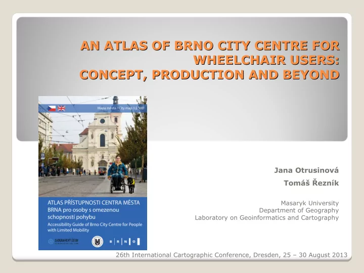

AN ATLAS OF BRNO CITY CENTRE FOR AN ATLAS OF BRNO CITY CENTRE FOR WHEELCHAIR USERS: WHEELCHAIR USERS: CONCEPT, PRODUCTION AND BEYOND CONCEPT, PRODUCTION AND BEYOND Jana Otrusinová Tomáš Ř ezník Masaryk University Department of Geography Laboratory on Geoinformatics and Cartography 26th International Cartographic Conference, Dresden, 25 – 30 August 2013
Project cooperation Project cooperation Masaryk University Brno City Municipality League for Wheelchair Users Rights Prague Organization of Wheelchair Users
Content Content People with impaired mobility Accessibility mapping The map section of the Atlas The text section of the Atlas Conclusion
People with impaired mobility People with impaired mobility People with motoric handicap Elder people Pregnant women People with babies in prams or children under 3 years old Up to 30 % of population People using an electric wheelchair have the highest requirements for accessibility
Accessibility mapping Accessibility mapping Identify locations in the city centre of Brno which are suitable for wheelchair users – mostly accessible locations Took over 3 years Parameters: ◦ Geographical locations and type of location ◦ An access to the building ◦ Accessibility possibilities inside the building ◦ Barrier-free toilets and reserved parking places
Accessibility mapping - - results Accessibility mapping results The geodatabase of accessible locations Locations were divided according to accessibility 160 locations in geodatabase
The Atlas The Atlas Bi-lingual: Czech and English A map section ◦ 19 pages of accessibility map of Brno city centre ◦ Map communication ◦ Map symbology A text section ◦ 59 pages of information about accessibility which are not covered in the map ◦ Pictograms and text with additional details
The map section The map section A map – not only the presentation of spatial data but especially the way of communication between the cartographer and a map user Map content corresponds with the content of geodatabase Map sign – must be able to communicate: ◦ The type of location – picture ◦ Accessibility – colour
The map section The map section
The text section The text section Additional information about accessibility that cannot be displayed in the map: ◦ Address ◦ Information about entrance to the building ◦ Possibilities to move inside the building ◦ Reserved parking places ◦ Barrier-free toilets Special pictograms – Prague organisation for wheelchair users
Conclusion Conclusion Over 3 years of work Printed atlas in 4000 copies distributed free of charge to wheelchair users The concept of the atlas corresponds with the accessible atlas that was published in Prague Atlas update in 2014 We initiate to develop „cartographical interoperability“ in accessibility mapping
Thank you. Thank you. Jana Otrusinová Tomáš Ř ezník
Recommend
More recommend