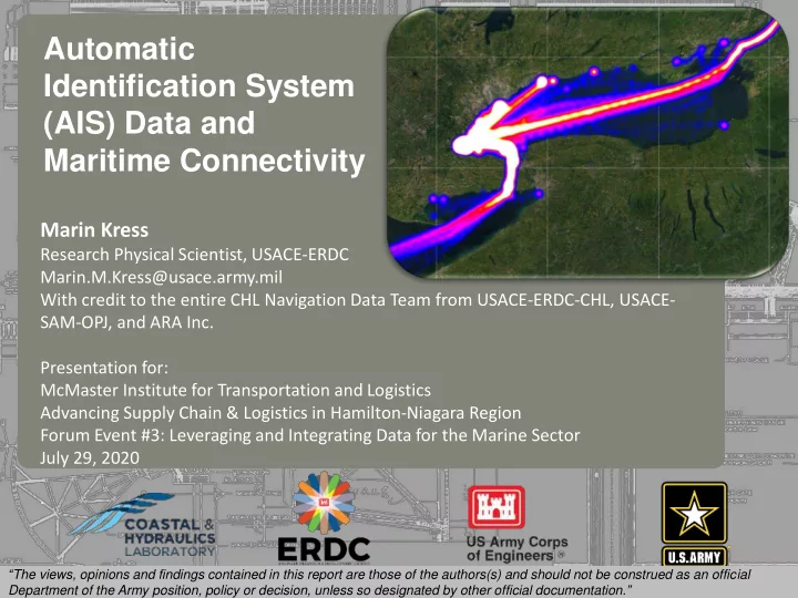

1 Automatic Identification System (AIS) Data and Maritime Connectivity 237 217 200 80 252 237 217 200 119 174 237 217 200 27 .59 255 0 163 131 239 110 112 62 102 130 Marin Kress 255 0 163 132 65 135 92 102 56 120 255 0 163 122 53 120 56 130 48 111 Research Physical Scientist, USACE-ERDC Marin.M.Kress@usace.army.mil With credit to the entire CHL Navigation Data Team from USACE-ERDC-CHL, USACE- SAM-OPJ, and ARA Inc. Presentation for: McMaster Institute for Transportation and Logistics Advancing Supply Chain & Logistics in Hamilton-Niagara Region Forum Event #3: Leveraging and Integrating Data for the Marine Sector July 29, 2020 . “ The views, opinions and findings contained in this report are those of the authors(s) and should not be construed as an official Department of the Army position, policy or decision, unless so designated by other official documentation. ”
First, What is AIS? ▪ Automatic Identification System (AIS) is a real-time shipboard broadcast system, sending signals to other ships and to shore- based receivers ▪ Designed as collision avoidance system, transmission frequency of 6 seconds ▪ Data included in AIS broadcasts: ► Time stamp ► Latitude & longitude ► Speed over ground ► Course over ground & heading ► Vessel ID ► Ship type ► Dimensions ► Max draft ▪ Req. for most commercial vessels ▪ Also used by recreational vessels ▪ U.S. Coast Guard Nationwide AIS www.navcen.uscg.gov/?pageName=NAISmain 2 Source: United States Coast Guard Navigation Data Center
AIS Data – Multiple Uses • Dwell time analysis • Port system resiliency Accident • Tidal dependency quantification Fog • Wake-induced wave energy/shoreline erosion • Vessel activity pre/post dredging • Vessel response to river flow • Vessel-structure interaction • Invasive species introduction risk • Understanding of waterway usage
AIS Signal Density Maps (Heat Maps) Great way to visualize relative traffic densities across large spatial domains.
Vessel trackline maps Speed Type Draft
Data request for Hamilton ON example: Any vessel that passed through the gray box around the Hamilton ON port area during 2019 and was broadcasting via AIS. Vessel position reports would include the entire 24-hour period within which the vessel was observed.
Areas of interest (AOIs) that appear to be within a 24-hr travel time of Hamilton ON and had shared vessel traffic during 2019, indicated by AIS. Oshawa ON Darlington ON Toronto ON SL Seaway Clarkson ON Ent - north Hamilton ON Oswego NY Welland Canal Ent. Buffalo NY Cleveland OH
AIS data can be used to understand maritime vessel traffic paths that support important supply chains. Basic summary of shared vessel traffic between 10 AOIs during 2019, all vessel types.
Summary of ‘Tanker’ and ‘Not Available’ vessel type traffic between selected AOIs during 2019, for vessels that passed through the Hamilton ON port area.
Summary ▪ Supply chain resilience questions can be approached in multiple ways, including regional; port; infrastructure; or commodity-specific perspectives. ▪ Understanding historic and existing traffic patterns is fundamental for planning and scenario-exploration purposes. ▪ Automatic Identification System (AIS) data is an important source of vessel position information for commercial, and many recreational, vessels. AIS messages generally do not include commodity information. ▪ AIS data is available from government and commercial sources. Position report density needs vary with the type of question being asked and can influence analysis results. ▪ AIS data can be combined with other modal datasets to facilitate an understanding of regional supply chains. Suggested additional reading: Using Empirical Data to Quantify Port Resilience: Hurricane Matthew and the Southeastern Seaboard . DOI: 10.1061/(ASCE)WW.1943-5460.0000446 . Use of Nationwide Automatic Identification System Data to Quantify Resiliency of MTS https://journals.sagepub.com/doi/abs/10.3141/2549-02 Assessing Structure Sheltering via Statistical Analysis of AIS Data https://ascelibrary.org/doi/abs/10.1061/(ASCE)WW.1943-5460.0000445 Archival Automatic Identification System (AIS) Data for Navigation Project Performance Evaluation https://apps.dtic.mil/sti/citations/ADA623191 AIS data: real-time operation support, incident investigations, and waterway use analysis https://erdc-library.erdc.dren.mil/jspui/handle/11681/36395
Thank you! Marin Kress, Ph.D. Marin.M.Kress@usace.army.mil Research Physical Scientist, Coastal and Hydraulics Laboratory U.S. Army Engineer Research and Development Center
Recommend
More recommend