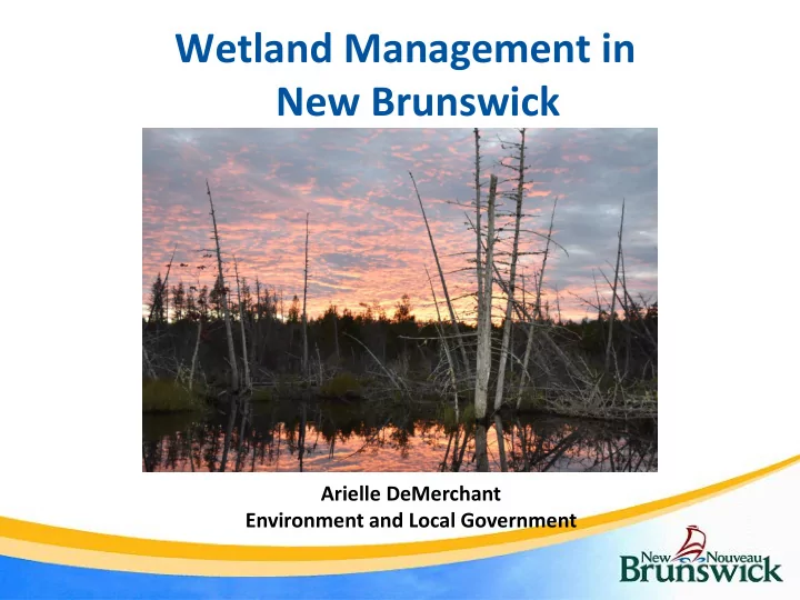

Wetland Management in New Brunswick Arielle DeMerchant Environment and Local Government
What is a wetland? Transitional areas between land and water. They are wet for 2 consecutive weeks during the growing season. Have hydric soils. Support plant species adapted to wet conditions.
Why Manage/Conserve Wetland Areas? • Ground water recharge • Flood control • Shoreline stabilization and storm protection • Water quality control and purification • Sediment/nutrient retention and nutrient export • Habitat for fish and wildlife and reservoirs of biodiversity • Wetland products • Recreation, education, and tourism • Cultural value • Climate change mitigation
Types of Wetlands in New Brunswick Bog Fen Freshwater Marsh Coastal Marsh Aquatic Bed
Black spruce forest Floodplain These are wetlands too! Shrub Swamp on fringe of treed bog Shrub Swamp on fringe of bog
Wetland Mitigation Sequence • Process which attempts to reduce potential negative effects to wetlands by: – Avoiding impacts to the wetland at the planning stage; – Minimizing impacts and requiring applicable environmental protection measures during permitted construction; and – Compensating for impacts that cannot be avoided or minimized.
GeoNB Map Viewer
Wetland Categories • Regulated Wetlands • Provincially Significant Wetlands (PSWs) ❖ PSWs = special status ❖ All coastal marshes ❖ Lower Saint John River flood plains ❖ Species at risk
Wetland Permitting • Only mapped wetlands on Service New Brunswick’s GeoNB Map Viewer require a permit.
Regulated Wetlands • Any alteration in or within 30 metres of a regulated wetland requires a WAWA permit • Any alteration which results in the permanent loss of wetland habitat requires compensation at a 2:1 ratio
Provincially Significant Wetlands (PSWs) • Much more restricted • Permitted activities include – rehabilitation, restoration, or enhancement – activities related to necessary public function • Permanent loss of wetland habitat requires compensation at a 2:1 ratio • Permitted activities within 30m of PSWs “Working Near Wetlands”: http://www2.gnb.ca/content/dam/gnb/Departments/env/pdf/We tlands-TerreHumides/WorkingNearWetlandsInNewBrunswick.pdf
Wetlands and EIAs • Environmental Impact Assessment Regulation – Clean Environment Act • Projects affecting a wetland greater than 2 hectares in size may be required to register for an Environmental Impact Assessment (EIA) • Proponents must consult with DELG’s Environmental Assessment Branch prior to the start of a project affecting a wetland greater that 2 hectares
Coastal Wetlands • Under directive of Coastal Areas Protection Policy for NB • Coastal wetlands are regulated as Provincially Significant Wetlands • No new development or activity within 30 metres of a coastal wetland
WAWA Online
Wetland Ecosystem Services Protocol for Atlantic Canada (WESP-AC) Arielle DeMerchant
Different Wetlands are Important for Different Things
Different Wetlands are Important for Different Things
Different Wetlands are Important for Different Things
Wetland Ecosystem Services Protocol • Author: Dr. Paul Adamus • Rapid wetland assessment tool • Assesses 17 functions • Measures how well wetlands perform functions • Only takes a few hours to complete • Office, field and stressor forms
Why standardize functional assessment? • Few people can predict all wetland functions. • Few can instantly recall all indicators of functions. • Different people mentally assign different weights to indicators. Reduces arbitrariness increases confidence
How WESP-AC Can Help 1. Where to recommend wetland AVOIDANCE. 2. How much mitigation (compensation). 3. For conservation, identifying the most important wetlands. 4. Communicating “practical values” of a wetland to the public. 5. Evaluating whether created/restored wetlands are succeeding in replacing wetland functions.
How WESP-AC Can Help - WESP-AC has been calibrated for each Atlantic province by Dr. Adamus - Each of the four provinces has a unique calculator form - Also separated in to tidal and non-tidal forms
General Procedure 1. Download the latest WESP-AC & accompanying files. 2. Download Google Earth Pro (free) & locate the wetland. 3. Draw approximate boundary of the wetland & the AA.
General Procedure 4. “Office Phase”: In worksheet OF, answer all questions using Google Earth Pro & GeoNB web site.
General Procedure 5. “Field Visit”: Walk the AA for >10 minutes. Dig soil pits, measure pH & conductivity, identify weeds, etc 6. Fill out forms F & S. 7. Transfer data from hard copy to electronic F & S worksheets. 8. Scores compute automatically. Save & review.
Limitations 1. Requires environmental background, some ID skills, & training course. 2. Single visit misses seasonal & annual variation. 3. “True answer” to several questions may not be determinable. Judgment. 4. Some required maps too coarse, incomplete, outdated (form OF questions). 5. Not sensitive enough to show slight impacts or short- term improvement from wetland restoration. 6. Many potential functions & benefits not modeled & scored.
Source and Surface Water Management Branch (506) 444-3211 Arielle.demerchant@gnb.ca
Recommend
More recommend