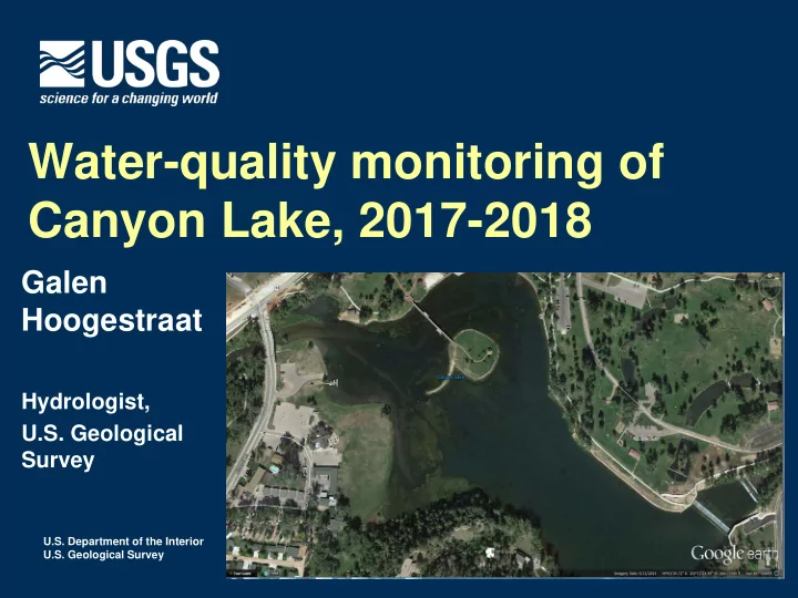

Water-quality monitoring of Canyon Lake, 2017-2018 Galen Hoogestraat Hydrologist, U.S. Geological Survey U.S. Department of the Interior U.S. Geological Survey
Overview Who we are: USGS Dakota Water Science Center Canyon Lake background Proposed monitoring project Purpose Public benefits Approach Funding
USGS Dakota Water Science Center Department of Interior agency Mission: collect high-quality hydrologic data and conduct objective scientific investigations on the quantity, quality, and use of surface-water and groundwater resources of the Dakotas Primary funding is from cooperative water projects with state, county, and municipal- level agencies https://sd.water.usgs.gov/
Canyon Lake is important for tourism and local recreation
Management of Canyon Lake draws huge interest from the community
Purpose of project: Evaluate water quality and protect uses Assist with water management (dredging) Currently, limited bacteria data available DENR Statewide Lakes Assessment data, from Paul Lorenzen, February 2017.
Limited data availability, cont. Nutrients: DENR Statewide Lakes Assessment data, from Paul Lorenzen, February 2017.
Current DENR WQM sites
Public benefits and outcomes Do waterfowl significantly affect downstream water quality? Did the dredging have temporary or long term benefits to water clarity? Does Canyon Lake support beneficial use criteria for immersion recreation?
Approach 5 sampling locations Above, within, below Canyon Lake 16 sampling visits during 2017-18 Bi-monthly, and 4 storm runoff events Water-quality parameters: Temp, pH, SC, DO, Turb Nutrients TSS E. coli
Products Data stored on publicly-available NWIS Progress reports to WDWDD Could include publication with future phase Results will dictate this
Funding request 2 years, $40k total from WDWDD Matched with $20k from USGS coop funds
Summary Within scope of WDWDD involvement Water management, water quality evaluation and protection, maintaining use for recreation Funding within WDWDD policies Public benefit: both locals and visitors Needed: fills gaps in state monitoring, assesses dredging operations, improves decision making for the community
Recommend
More recommend