
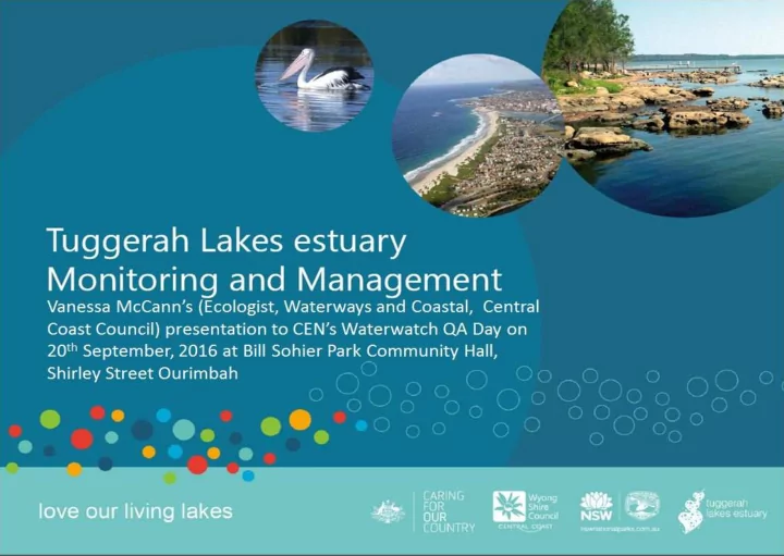
SLIDE 1
Tuggerah Lakes basics 3 interconnected coastal lagoons Small - - PowerPoint PPT Presentation
Tuggerah Lakes basics 3 interconnected coastal lagoons Small permanently maintained opening at the Entrance 80 km 2 surface area 670 km 2 catchment area Average depth 1.6m 0.2-0.3m AHD average water level 11.6km 2
Saltwater Creek
Aerial photos from the 1940s show a sandy nearshore zone along much of the eastern and northern
Two views of the Long Jetty
nearshore zone was dominated by clean sands, exposed to strong currents (note sand ridges running perpendicular to the shoreline). By 2006 the nearshore zone had become colonised by seagrass and macroalgae which serve to reduce currents and trap particulates from urban runoff and resuspended lake sediments.
Causes
These changes have most likely occurred due to a combination of increased fine sediment and nutrient loads from the catchment (in particular the urbanised fringing catchments), entrance management and shoreline alterations, superimposed on long-term climatic cycles. Some
presentation.
1941 1998
Seagrass survey data and anecdotal accounts indicate that seagrass in Tuggerah Lakes has shifted from deeper lake basins to the shallower lake fringes. This shift was most likely in response to a decline in water quality, in particular water clarity.
Seagrass has shifted into shallow areas in order to receive sufficient light for
seagrass from deeper lake basins has likely resulted in greater resuspension of sediment due to wind waves, thereby causing further reductions in water clarity. This is referred to as a “feedback loop” and can be very difficult to reverse.
The Tuggerah Lakes Restoration Project completed in the 1990’s had a significant impact on seagrass extent in Tuggerah Lake.
9
The amount of material (nutrients and sediments) produced per hectare is generally much higher per unit area in the urban sub-catchments fringing the lake. This is expected as the hard surfaces (roads, driveways etc.) don’t allow rainfall to penetrate so everything is washed off. The rural catchments deliver the greatest overall load of material based on their size…
but, QUALITY matters, nutrients from upper catchment not readily bio-available, but from urban areas are highly reactive. Thus very different effects on the ecology of the ecosystem!
This series of images show the progressive colonisation of the nearshore zone by macrophytes adjacent to the Killarney Vale and Long Jetty shoreline. This colonisation is accompanied by an increase in fine sediments and organic loading of sediments.
10
The gradual enrichment of the nearshore zone is widespread, but appears to be particularly bad adjacent to heavily urbanised areas. This implicates persistent sources of bio-available nutrients from urban runoff and groundwater.
11
The most bio-available nutrients from the catchment are taken up by algae (phytoplankton and benthic types). An excess of nutrients favours algal growth and an increase in sediments reduces water clarity.
Council have installed stormwater quality improvement devices (such as gross pollutant traps) however these can become blocked by the quantity of material. Helping to reduce what enters these devices will make stormwater treatment more effective and improve lake water quality.
Urban environments deliver nutrients, sediments and toxins to the nearshore zone of the lake. The hard surfaces such as roads, driveways and rooftops prevent capturing and filtering of rain which leads to concentrated runoff and much more flow than is natural.
amount of water delivered during a rain event and flush nutrients and sediments from other hard surfaces into the stormwater system
nutrients, sediments and toxins to the stormwater system
driveway and roof add to the organic discharge to the lake which contributes to smelly ooze. They also block the stormwater management systems.
chemicals increases the nutrient and toxin load to the lake
Urban stormwater is trapped in the nearshore zone where excess nutrients and sediments lead to smelly ooze accumulation and increase the risk of algal blooms
to be used for watering the garden or washing the car. Not only does it save money in water costs but reduces the flow, nutrients, sediments and toxins to the lake.
the filtration of water through the soil where nutrients and sediments will be trapped and the amount of discharge is reduced.
Composting green waste will reduce the nutrient load entering the lake
applying during dry weather will prevent excess nutrients entering the lake.
Largest catchments Venice/ Gladstan GPTs & Saltmarsh Swale Archibold Rd proposed Saltmarsh Swale Tugg Pde/ Anzac Rd GPT Saltwater Creek Catchment Mgmt & GPT upgrades
Venice/ Gladstan GPTs & Saltmarsh Swale Archibold Rd proposed Saltmarsh Swale Tugg Pde/ Anzac Rd GPT Saltwater Creek Catchment Mgmt & GPT upgrades
Venice St GPTs & Saltmarsh Swale Archibold Rd proposed Saltmarsh Swale Anzac Rd GPT 17ha 20ha 46ha 2ha
2010 – Streambank Rehabilitation and Stormwater Upgrades – Saltwater Creek catchment – 2.2km
2010 - Tuggerah Pde/ Anzac Ave Baramy GPT
2015 – Venice St/ Gladstan Ave GPTs and Saltmarsh Swales
2016 – Willow St to Battley Ave – 6 drains upgraded
Coming soon… 2017 – Tuggerah Pde/ Archibold St stormwater consolidation, saltmarsh swale and foreshore saltmarsh regeneration
catchment area (potential pollutant load)