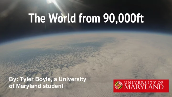

The World from 90,000ft By: Tyler Boyle, a University of Maryland student
Who are we? - We are aerospace engineers, computer scientists, and atmospheric scientists at the University of Maryland who love to tinker and build things - We design, build, and test our experiments
Where does our stuff go? - The payloads we build fly into the stratosphere - (sometimes above 100,000ft!)
What do we build? - We build payloads that: - Can “talk” to us while in flight ( LINK ) - Drop other payloads ( MARS ) - Try to break the sound barrier ( Super Sonic ) - Stabilize something - so you can point a sensor or a GoPro at something like the sun for the entire flight and take measurements ( Bad Attitude ) - Try to keep balloon up in the air or just floating for longer ( Helios ) Payload stabilizing unit, made with custom designed parts
Some payloads FISH - designed to measure velocity in the air SCORCH - Uses a model rocket engine to burn a hole in the payload string
Bach’s Box and Tyrion - Payloads my group works on - “Tyrion” and “Bach’s Box” Measure: - Temperature - Pressure - Humidity - Dust - GPS position - Wind speed and Direction
How do we measure that? - By building “circuit boards” with Arduinos - Adafruit Feather - BME 280 temperature, pressure, and humidity sensor - These are all things that are cheap and easy, you can build one if you want! Tyrion, Version 2
Making this happen
The Night before the Launch - Tying all of the payloads together on the string - Setting up the vans with our radio equipment
Launch Day - It’s not that easy... - Waking up early - Setting up the “payload string” - Last minute calibrations - Checking all radio communications - Filling up the balloon - Last Minute predictions Filling up the balloon
Predictions vs. Reality Predicted ground track (left) vs. actual flight (right)
How do we make these predictions? - We look at the jet stream, and the other layers of the lower atmosphere - Think of the atmosphere like a cake (where the icing, or the jet stream, is the most important) - For our October 29th launch, the jet stream was moving everything really fast to the east https://earth.nullschool.net/#2016/10/29/1200Z/wind/isobaric/250hPa/orthog raphic=-89.12,40.00,1123
And the inevitable tree landing - The first rule of ballooning - if there’s a tree nearby, your balloon will find it!! The NS55 landing site
Sometimes, we just have bad luck - At the last launch, the balloon burst at 30,000 ft before we expected NS53 GoPro footage capturing a balloon bursting
Or someplace inconvenient - Or it will land in a place that’s very hard to get At NS45 we landed in a quarry
Why go through all this trouble? Luke getting command module ready for flight
Well, the pictures are always cool! Photo from NS54, where you can see the Chesapeake Bay and even the Atlantic Ocean
Why do we care? - It’s the best way to see what’s actually going on in the atmosphere
Dust Dust Density vs. Pressure from NS58 - The results aren’t what’s expected. - Measurement of dust in the air - Notice the unusual increase at the end? - Satellites can tell us if there’s dust in the column of air, but not where that dust is coming from
The History of HAB (High Altitude Ballooning) - Before satellites, high altitude ballooning was the only way to get weather data Joe Boyle, my Grandfather, getting ready to launch a weather balloon
Fancy satellite images are great but... - These awesome images can only show us a snapshot of what’s going on - They predict information using math and physics 250mb winds (or the Jet Stream in pink), courtesy of earth.nullschool.net
- With a weather balloon, you’re flying through the air, actively measuring what’s happening
What are they telling us? - Temperature - Pressure - Relative Humidity - Wind Speed - Direction - NOAA launches hundreds of these every day! 1960’s Style Radiosonde
All the data helps us accurately predict the weather - This is a Skew-T diagram - Meteorologists use these to help tell when it might rain, snow, or even where the clouds are.
All of this information matters
Clouds - During the day, they can help keep temperatures down (cooler) - At night, they can help keep the temperatures up (keep us warmer)
Or they can tell us if rain is coming - When red and blue are lines relatively close to each other (moisture/temp), there’s a lot of moisture in the air
What Satellite Imagery Tells us https://earth.nullschool.net/#2016/09/16/1500Z/wind/surface/level/overlay=to tal_precipitable_water/orthographic=-87.17,38.50,1513/loc=-78.680,39.274
It’s just really fun!
And everyone’s invited to our next launch! - When? - Saturday 11/12 or Sunday 11/13 - Where? - Final decision made on Wednesday or Thursday based on weather and ground track B e sure to preregister now to get the emails about next launches: http://bit.ly/UMDHABlaunch (everyone who preregisters WILL be emailed) Filling the balloon for NS58
Recommend
More recommend