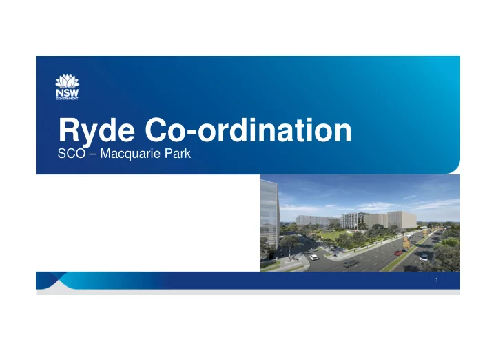

Ryde Co-ordination SCO – Macquarie Park 1
Macquarie Park • The precinct is experiencing a phase of growth and change, with investment in high density residential and commercial space, as well as major upgrades to Macquarie University and Macquarie Centre. This is resulting in increased demand on the transport network. • NSW Government has made massive public transport investment in precinct and has been working with City of Ryde and large organisations for years, to reduce car parking availability and encourage mode shift from car to public and active transport. 2
Quantum of Development and Major Infrastructure as at early 2019. This demonstrates the size of the challenge we are tasked with managing in this precinct.
Ivanhoe Estate Masterplan
45 – 61 Waterloo Road, Macquarie Park
Road network & context • Historically high dependency on car use in the precinct • High peak traffic demand and associated road congestion • Major arterial roads on three sides of the precinct that we don’t want to further congest • Land use change from low-medium density commercial to high density commercial and residential • High levels of concurrent property development • Major trip generator for range of purposes: university, shopping centre, employment, residential • Rapidly increasing mode share for public transport – both bus and metro. Average speeds on Lane Cove Road between Epping Road and Waterloo Road – blue 2019, yellow 2018 - < 20km/h AM/PM peak 6
What’s been done to address this In order to address congestion and cater for future growth, the Government has invested in major transport improvements in the precinct in recent years, including: • Sydney Metro North West (Metro services every 4 minutes) • Bus priority and capacity improvements • More connecting train and bus services (more than 2200 additional bus services and 750 extra train services since 2011) • Active (walking and bike riding) transport improvements • On Demand Transport Pilot • Road network management (TMC, SCATS, kerbside management, etc). • Working with Ryde Council to reduce car parking in the Precinct – and requiring new developments to reduce their car dependence. • Travel choices encouraging organisations to retime/remode/reduce. • Ongoing strategies and future works outlined in Future Transport 2056 and the Macquarie Park Action Plan. 7
Road network and kerbside use alterations • Improved monitoring infrastructure for the Transport Management Centre – More CCTV at key intersections – Power supply upgrades to traffic signals • Kerbside use changes – Standardisation of No Parking times to encourage peak spreading – Working with the City of Ryde for more short term parking • Delhi Road upgrade – Additional lane eastbound has halved travel time in the AM Peak • A safer road environment on Waterloo Road – 50km/h speed limit – New pedestrian refuges supported by speed cushions on the approach to Khartoum Road. Sensitive NSW Government
Bus network improvements • More Bus Services – Extra services from 30 September 2018 delivering extra AM and Over Over PM shoulder peak and evening services on routes: • 288 Epping to City via North Ryde 2,200 2,200 • 293 Marsfield to City extra weekly extra weekly • 294 Macquarie University to City via Epping Road bus services bus services • M54 Parramatta to Macquarie Park in Mac Park & N Ryde in Mac Park & N Ryde – All night bus N91 extended to Macquarie Park from 1 March since 2011 since 2011 2018 • Strong growth is occurring on the bus network – 24% growth in the Northern Hills area (Region 4) in two years
Travel Planning – Demand Management Key focus is: • Providing information about variety of options to travel to the site so employees are well informed about their best travel choices. • Encouraging flexible working arrangements that empower employees to travel when it suits them and during periods when there is less demand on the transport network, and to work from home / remotely. • Provide tools, technology and training that reduces the need for unnecessary travel. • Provide equipment, facilities and business processes that make it easy and comfortable to travel to the site by public and active transport, including for work-related trips. Sensitive NSW Government 10
TDM solutions work and are being implemented by other organisations across Macquarie Park Following targeted TDM engagement in Mac Park for StationLink, local organisations report following changes: • Foxtel – 47% WFH arrangement, 45% staggered start times • Cochlea – 250 staff now WFH > 1 day per week • MQU – rescheduled classes outside peak • Metcash – 20% regularly WFM, 15% increase in PT use • Optus – 10% decrease in driving, reduction in 9am peak arrivals from 40% of all staff to 5%, 67% increase in WFH 1-2 days pw. • Schneider – 44% WFM more often, 42% retime. 11
Active transport • Bike Wise Training – Macquarie University and Optus • Knowledge and confidence seminars • Skills, control and confidence practical training • Personal bike trip planning • Epping Road Cycleway • Macquarie Park Travel Choices Cyclemap • RMS Cycleway Finder • City of Ryde - Shrimptons Creek Cycleway – $5m NSW Government contribution
New $40 million cycle and pedestrian bridge connecting Macquarie Park to North Ryde 13
Macquarie University Bus Interchange (MUBI) - Constraints
Macquarie Park Bus Priority Infrastructure Program (BPIP) Investigation boundary. Future works will be integrated into private development including Ivanhoe Estate and 45 – 61 Waterloo Road.
BPIP – Reference Design in REF
Stakeholder concern in the area highlighted in red including: • Tree Removal • Road Widening • Place Making • Pedestrian Accessibility Sydney Roads BPIP team are currently reviewing options to address these concerns
Recommend
More recommend