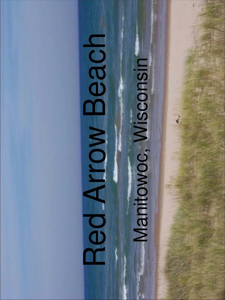

Red Arrow Beach Manitowoc, Wisconsin
Looking east over Red Arrow Beach, showing an area where parking lot runoff enters the beach area.
Showing an area where runoff from the parking lot crosses a walking path and enters the beach.
Looking northeast over Red Arrow Beach. The main beach section is low and flat with “dense” sand and little vegetation.
Looking north along an asphalt walking path. The beach is to the east (right) and grass slope followed by parking lot to the west (left).
An area between “dunes” where water crosses a walking path and enters the beach.
Looking west from an asphalt path at erosion feature from parking lot above.
Looking at copious gulls along the beach.
Looking south along the low, flat beach at copious gulls.
Looking at a stormwater erosion feature along the beach at Red Arrow Beach.
Looking west at an old boat launch area at the north end of Red Arrow Beach. Parking lot/roadway runoff enters the beach at this point.
Stormwater discharge at the north end of Red Arrow Beach.
Stormwater discharge from a school parking lot. This enters a pipe that discharges to the north end of the beach.
Stormwater discharge “pond” at the south end of Red Arrow Beach .
A box culvert ( ≈ 7’ x 7’) showing dry weather discharge at the south end of Red Arrow Beach.
Marina Beach Manitowoc, Wisconsin
Looking east at Marina Beach (marina is to the south, on the right side of photo). A “road” entering the beach at position of photographer, conveys stormwater from the parking lot onto the beach.
Looking west at a road access to the beach. This road conveys stormwater from the parking lot to the beach.
Looking north east over Marina Beach. The mid area of the beach is “hard packed”, very fine, silty sand with “scrub” vegetation. No dune grass. Very flat beach profile.
Looking northeast across Marina Beach. A storm drain discharge point is visible near the person with a kite.
Looking west at stormwater discharge at the north end of Marina Beach.
A stormwater discharge point at the north end of Marina Beach.
A stormwater discharge at the north end of Marina Beach.
Looking north across Marina Beach from the break-wall.
Looking north across a grassy area between the parking lot and Marina Beach.
Silver Creek Beach
Looking north along the beach at Silver Creek Beach. Cobbles are visible in the shallow water area but do not show on these photos.
Looking south at a sheet pile structure at the south end of Silver Creek Beach.
A culvert pipe at the northwest corner of a sheet pile structure at the north end of Silver Creek Beach. No evidence of flow was at this discharge location.
Looking north from the south end of Silver Creek Beach.
Looking north along Silver Creek Beach. Some areas of the central beach area (East-West) are depressed, resulting in the accumulation of algae. Sand in these areas also remains saturated.
Showing algae accumulation and saturated sand in a depressed beach area.
Looking south from the north end of Silver Creek Beach.
Looking west from the mouth of Silver Creek.
Looking east- northeast at the mouth of Silver Creek.
A concrete structure, north of Silver Creek Beach parking area.
A concrete structure, north of Silver Creek Beach parking area.
Neshotah Beach Two Rivers, Wisconsin
Looking south along the east parking lot edge at Neshotah Beach, Two Rivers.
Looking north showing the low, wet sand at Neshotah Beach, Two Rivers.
Looking north showing low, wet sand at Neshotah Beach, Two Rivers.
Looking north showing shallow beach profile at Neshotah Beach, Two Rivers.
Looking west at the storm water discharge at the north end of Neshotah beach.
Looking east over the north storm water discharge point at Neshotah Beach, Two Rivers.
Looking southwest at a group of loafing seagulls at Neshotah Beach, Two Rivers.
Looking west at the south storm water discharge point at Neshotah Beach, Two Rivers.
Looking east over the south storm water discharge point at Neshotah Beach, Two Rivers.
Looking south over Neshotah beach toward the break wall. Low, wet sand and accumulated Cladophora are present.
Looking south over Neshotah beach at accumulated Cladophora along the break wall.
Hika Bay Beach Cleveland, Wisconsin
Looking north over a large Cladophora accumulation at Hika Bay Beach, Cleveland.
Looking west from the boat dock over a large Cladophora accumulation at Hika Bay Beach.
Looking west, northwest at Hika Bay Beach.
Looking north along the “beach” at Hika Bay.
Looking west up Centerville Creek, just north of Hika Bay in Cleveland.
Looking northeast at the mouth of Centerville Creek, just north of Hika Bay.
Before/After Examples Egg Harbor, Wisconsin
BEFORE: Low, flat beach with large swash zone. Rock jetties reduce water movement.
BEFORE: Low, flat beach with large swash zone. Minimal vegetation to hold sand in place. Waterfowl loafing helps create environment for bacterial growth.
BEFORE: Low, flat beach with large swash zone. Large populations of waterfowl consistently utilizing beach area.
DURING CONSTRUCTION: Beach is nourished to minimize swash zone and improve infiltration. Native plantings are used to hold sand in place and discourage waterfowl. Stormwater runoff is treated through infiltration and bio- infiltration prior to entering the sandy beach area.
DURING CONSTRUCTION: Native plantings improve aesthetics, treat stormwater, and hold sand in place. Walkways and picnic areas are established throughout the planting area.
AFTER: Beach is higher and drier as a result of beach nourishment.
AFTER: Native vegetation assists in holding sand in place, treating stormwater runoff from parking lot and nearby roadways, and preventing waterfowl loafing.
AFTER: Boardwalks and pathways direct beachgoers to sandy beach area with minimal disturbance to vegetation.
AFTER: Picnic areas are designated throughout park/beach area.
Recommend
More recommend