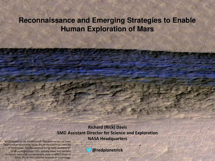

Reconnaissance and Emerging Strategies to Enable Human Exploration of Mars Richard (Rick) Davis SMD Assistant Director for Science and Exploration NASA Headquarters NOTE ADDED BY JPL WEBMASTER: This content has not been approved or adopted by NASA, JPL, or the California Institute of Technology. This document is being made available for @redplanetrick information purposes only, and any views and opinions 1 expressed herein do not necessarily state or reflect those of NASA, JPL, or the California Institute of Technology.
Outline • Water and the Human Landing Sites Study (HLS2) • Mars Subsurface Ice and Hydrated Mineral Maps • Potentially Needed Future Missions from the International Mars Exploration Working Group (IMEWG) • Growing Awareness of Potential Need for Civil Engineering • Mars Exploration Planning Analysis Group Science Goal IV: Prepare for Human Exploration 2
Water and the Human Landing Sites Study (HLS2) • Four Major Questions: – Is it really there? – Can you really produce it economically? – How much water do you need? – If the feedstock drives location, what does that mean for landing, launching to go home, and living there? This effort is a joint Human Exploration and Operations Mission Directorate (HEOMD) / Science Mission Directorate (SMD) study 3
Subsurface Ice Maps Pushing the Ice-Boundary Line Equatorward Datasets used: MONS, TES, THEMIS, SHARAD, Region not mapped due to high elevation (not landable by human-class vehicles) Geomorphology (imagery and elevation data) Pathare+2018 (Shallow) *St16 SWIM contiguous ice (C i >0.3) Hemisphere *Pe18 Northern (Deep) *Br15 (Deep) (Deep) SWIM discontiguous ice (C i >0.3) Ice Consistency (C i ) Depth to Base of Ice (m) Legend (0-5m from Surface) Derived from SWIM Radar Analysis Prior shallow (<1 m) ice from neutrons SWIM contiguous The SWIM Project has: ice consistency >0.3 • Detected more equatorward contiguous and discontiguous shallow (<5 m) SWIM discontiguous ice consistency >0.3 ice than previously found across the Northern Hemisphere Previously published deep • Increased radar reflector coverage across the Northern Hemisphere, detecting (>15m) ice southern boundary more equatorward deep ice , and improving estimates of material composition SWIM detected deep (>15m) ice southern boundary *Pe18: Peterson et al. 2018; St16: Stuurman et al. 2016; Br15: Bramson et al. 2015 Next Steps: Currently evaluating potential extension activities to this project that will increase coverage to the Southern Hemisphere and incorporate additional, improved mapping techniques. 4 Pre-Decisional Information -- For Planning and Discussion Purposes Only
Global Hydrated Mineral Water Abundance Map From: Carter et al., IAS Paris-Sud University Next Steps: Future studies based on new knew knowledge revealed by these mapping projects are currently being considered, including a potential update to the M-WIP Study and a potential second Mars human landing site selection workshop. 5
Potentially Needed Future Missions From International Mars Exploration Working Group • Mars Sample Return – Accomplish Decadal Science Priorities – In addition, MSR is probably needed to confirm the mechanical properties of the regolith/dust (abrasiveness, oxidizing potential particle size, etc.), how it will interact with surface systems (e.g., suits, rovers, habitats, etc.), and potential human health hazards (toxicity, respiratory, potential extant life, etc.) • Water Recon – Identify near surface ice – Assess Potential of Hydrated Minerals – Ground Truthing – Ease of access • Special Regions Drill – Search for life – Characterize the water • For ISRU • For potential human use • Next-Gen Weather Capabilities (Orbital and Surface) – Density Profiles • (EDL) – Winds Aloft – Potential Microbial Transport • Improved Communications – Increased data rate 6
Growing Awareness of Potential Need for Civil Engineering on the Moon and Mars • Landing large spacecraft on loose regolith in a low gravity environment has the potential to disturb huge plumes of rock and dust posing a threat to any mission infrastructure nearby • There is growing awareness that civil engineering efforts may be needed to create landing pads and/or roads • Understanding these challenges requires a more in-depth understanding of the overburden at potential human landing sites 7
MEPAG Science Goal IV: Prepare for Human Exploration 8
For More Information Visit our website: http://www.nasa.gov/journeytomars/mars-exploration-zones Follow us on Twitter: @RedPlanetRick Join our disto list, by contacting us at: NASA-Mars-Exploration-Zones@mail.nasa.gov 9
Recommend
More recommend