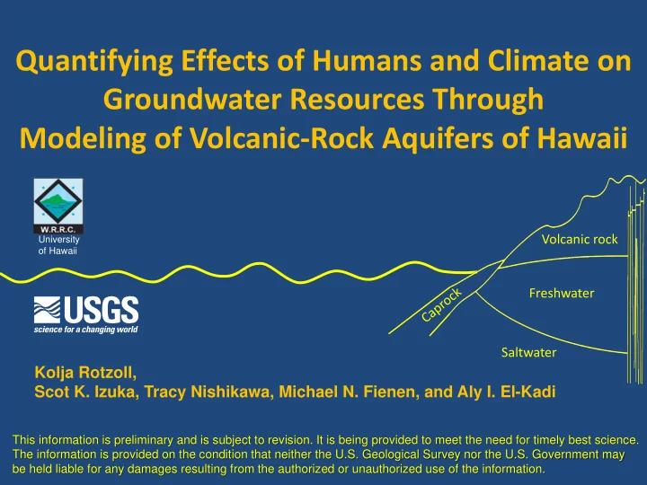

Quantifying Effects of Humans and Climate on Groundwater Resources Through Modeling of Volcanic-Rock Aquifers of Hawaii Volcanic rock University of Hawaii Freshwater Saltwater Kolja Rotzoll, Scot K. Izuka, Tracy Nishikawa, Michael N. Fienen, and Aly I. El-Kadi This information is preliminary and is subject to revision. It is being provided to meet the need for timely best science. The information is provided on the condition that neither the U.S. Geological Survey nor the U.S. Government may be held liable for any damages resulting from the authorized or unauthorized use of the information.
USGS Water Availability & Use Science Program Hawaii Volcanic-Rock Aquifer Study Challenges Limited capacity to store fresh groundwater Sharp contrasts in climate, geology, and hydrology Scope • Current condition of the Hawaii volcanic aquifers • Effects of human activities • Responses to future stresses
USGS Water Availability & Use Science Program Hawaii Volcanic-Rock Aquifer Study 160º 159º 158º 157º 156º 155º HAWAIIAN ISLANDS Kauai 22º 0 40 MILES Niihau Oahu 0 40 KILOMETERS Molokai 21º Maui Lanai Kahoolawe Hawaii (Big Island) 20º Framework, groundwater budget, conceptual model, whole-island numerical model Framework, groundwater budget, conceptual model Not included in this study 19º Preliminary Information—Subject to Revision. Not for Citation.
USGS Water Availability & Use Science Program Hawaii Volcanic-Rock Aquifer Study Izuka, S.K., Engott, J.A., Bassiouni, M., Johnson, A.G., Miller, L.D., Rotzoll, K., and Mair, A., in press, Volcanic aquifers of Hawai‘i — hydrogeology, water budgets, and conceptual models: U.S. Geological Survey Scientific Investigations Report 2015-5164
USGS Water Availability & Use Science Program Hawaii Volcanic-Rock Aquifer Study 160º 159º 158º 157º 156º 155º HAWAIIAN ISLANDS Kauai 22º 0 40 MILES Niihau Oahu 0 40 KILOMETERS Molokai 21º Maui Lanai Kahoolawe Hawaii (Big Island) 20º Framework, groundwater budget, conceptual model, Simulate steady-state groundwater flow and whole-island numerical model whole-island numerical model 50% salinity interface (MODFLOW/SWI2) Framework, groundwater budget, conceptual model • 2001-2010 conditions • Pre-development conditions Not included in this study • Future scenarios (Oahu only) 19º Preliminary Information—Subject to Revision. Not for Citation.
Script-Based Modeling Instantaneous execution Readable files: Easy to catch and correct errors Reproducibility: A script is a record of the entire modeling or data-analysis process Python: Free and open-source computer language
Basalt Structural Contours Preliminary Information—Subject to Revision. Not for Citation.
Elevation of Basalt Surface Preliminary Information—Subject to Revision. Not for Citation.
Sediment Thickness Surface Elevation – Basalt Elevation = Caprock Thickness Preliminary Information—Subject to Revision. Not for Citation.
Boundary Conditions 2 = unconfined 1 = confined 0 = ocean Preliminary Information—Subject to Revision. Not for Citation.
Boundary Conditions wells drains general head Preliminary Information—Subject to Revision. Not for Citation.
Average 2001-2010 Withdrawals & Recharge Total basalt - recharge: 560 Mgal/d - withdrawal: 197 Mgal/d Preliminary Information—Subject to Revision. Not for Citation.
Integer Grid of Aquifer Zones 1 Preliminary Information—Subject to Revision. Not for Citation.
Hydraulic Conductivity Preliminary Information—Subject to Revision. Not for Citation.
Simulated Drain Fluxes Preliminary Information—Subject to Revision. Not for Citation.
Simulated High-Level Water Levels ft rel. ft rel. to msl to msl Preliminary Information—Subject to Revision. Not for Citation.
Simulated Freshwater-Lens Water Levels ft rel. to msl Preliminary Information—Subject to Revision. Not for Citation.
Simulated Midpoint of the Transition Zone 50% Seawater-Salinity Depth ft rel. to msl Preliminary Information—Subject to Revision. Not for Citation.
Outlook • Statistical parameter estimation: PEST • Run the calibrated model - with pre-development recharge and without withdrawals - future climate scenarios (future land cover & rainfall -> future recharge, future withdrawals) • Assess changes in - water levels - discharge to streams and ocean - freshwater volume (50% salinity interface to water table) • Compare results of Kauai, Oahu, and Maui
Quantifying Effects of Humans and Climate on Groundwater Resources Through Modeling of Volcanic-Rock Aquifers of Hawaii Volcanic rock University of Hawaii Freshwater Saltwater Kolja Rotzoll, Scot K. Izuka, Tracy Nishikawa, Michael N. Fienen, and Aly I. El-Kadi This information is preliminary and is subject to revision. It is being provided to meet the need for timely best science. The information is provided on the condition that neither the U.S. Geological Survey nor the U.S. Government may be held liable for any damages resulting from the authorized or unauthorized use of the information.
Recommend
More recommend