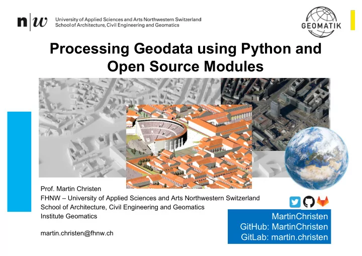

Processing Geodata using Python and Open Source Modules Prof. Martin Christen FHNW – University of Applied Sciences and Arts Northwestern Switzerland School of Architecture, Civil Engineering and Geomatics MartinChristen Institute Geomatics GitHub: MartinChristen martin.christen@fhnw.ch GitLab: martin.christen
Processing Geodata using Python and Open Source Modules Geodata ? Geographic data and information are defined in the ISO/TC 211 series of standards as data and information having an implicit or explicit association with a location relative to the Earth. Approximately 90% of government sourced data has a location component. https://www.iso.org/committee/54904.html GIS – Geographic Information System GIS is a system designed to capture , store , manipulate , analyze , manage , and present spatial or geographic data. Popular GIS are for example ArcGIS (ESRI) and QGIS – both can be extended by using Python. Python ? This talk will show you the basics of manipulating , analyzing and presenting geodata using Python (in the Jupyter Notebook.) Institute of Geomatics Engineering 31 July 2018 2
Important Open Source Libraries / Modules GEOS GDAL/OGR Geometry Engine Open Source Geospatial Data Abstraction Library C++ C/C++ with Python Bindings Geometry processing / Reading Vector & Raster Formats OpenGIS Simple Features Rasterio fiona shapely For raster data For vector data For vector data Pythonic Module Pythonic Module Pythonic Module geopandas Pythonic Module Institute of Geomatics Engineering 31 July 2018 3
Jupyter Notebook / Sample Data for this talk https://github.com/martinchristen/EP2018_Geo Institute of Geomatics Engineering 31 July 2018 4
Installation https://github.com/martinchristen/EP2018_Geo conda conda install shapely install shapely conda conda install install fiona fiona conda install conda install rasterio rasterio conda conda install install geopandas geopandas conda conda install folium install folium -c c conda conda-forge forge Python 3.6 required Python 3.6 required (3.7 doesn’t support all Modules yet) Institute of Geomatics Engineering 31 July 2018 5
https://github.com/martinchristen/EP2018_Geo Institute of Geomatics Engineering 31 July 2018 6
http://2019.geopython.net • Python in General • GIS/Mapping • Geography / Geophysics / Geodesy / Geomatics • Earth Sciences / Environmental Sciences • Geovisualization • Smart Cities • Spatial Data / Geodata • Geospatial Webservices • Big Data • Data Processing • (Spatial) Databases • Computer Vision • Remote Sensing • Image Processing Institute of Geomatics Engineering 31 July 2018 7 • Machine Learning / Deep Learning
Questions ? Institute of Geomatics Engineering 31 July 2018 8
Recommend
More recommend