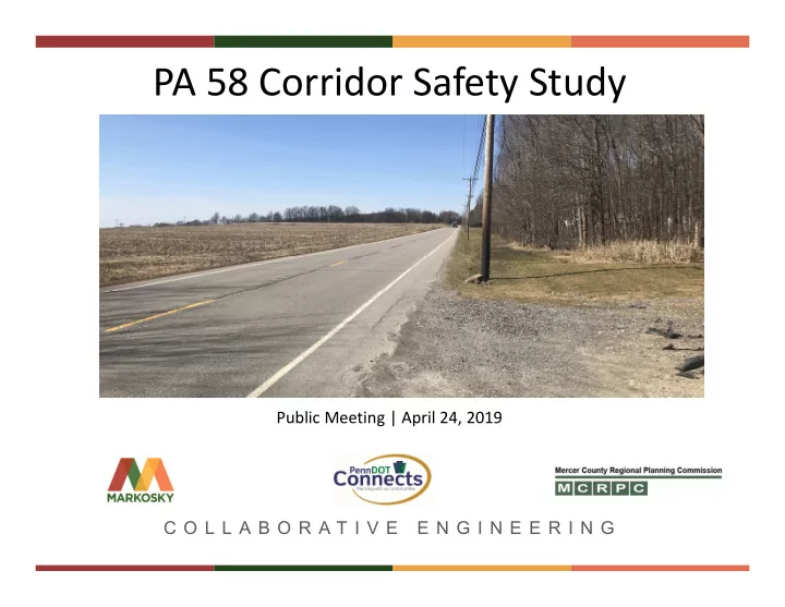

PA 58 Corridor Safety Study Public Meeting | April 24, 2019 C O L L A B O R A T I V E E N G I N E E R I N G
Study Area T E A
Project Team James A. Foringer, P.E. Daniel Gracenin Brian McNulty, P.E. Matt Stewart Tom McClelland, P.E., PTOE Brian Smith, P.E. Greg Maser T Chris Wolfgong Jill Harry E Jon Balko, P.E. A Dorothy Boring, P.E., PTOE M
C O N S T R U C T I O N S E RV I C E S Tonight’s Agenda • Purpose of the study • PennDOT project development process • Initial investigations • Solicit feedback • Next steps T E A
C O N S T R U C T I O N S E RV I C E S Purpose of the Study • Due diligence prior to considering future projects • Evaluate existing safety • Evaluate existing and future traffic operations • Evaluate existing road and bridge conditions • Identify related planning and economic development initiatives • Identify and evaluate options for changes/improvements along corridor • Determine short-range and long-range improvement strategies for the corridor T • Involve stakeholders and the public E A
C O N S T R U C T I O N S E RV I C E S PennDOT Connects Source: PennDOT Connects Implementation Report Corridor Studies/Plans
C O N S T R U C T I O N S E RV I C E S Project Development Flowchart Source: PennDOT Publication 740 T E A
Shenango Valley Area Transportation C O N S T R U C T I O N S E RV I C E S Study MPO (SVATS MPO) • Responsible for transportation related issues in Mercer County (All modes of transportation) • MCRPC staff run the daily business • Approves and prioritizes all federally- funded projects within the region • Develops Long Range Transportation Plan (LRTP) for the next 20+ years. It is updated every five years T • Develops Transportation Improvement Plan (TIP) from which all projects are E programmed and funded. It is updated A every two years
C O N S T R U C T I O N S E RV I C E S Initial Investigations • Stakeholder Research • Twenty-four hour traffic counts • Crash Analysis • Background environmental research T E A
Initial Investigations Project Stakeholders Shenango Valley Area Transportation Study MPO T E Jefferson Township Coolspring Township
Initial Investigations Project Stakeholders T E
Initial Investigations 24 Hour Traffic Counts T E A
Initial Investigations Crash Analysis • 5 year period from 01/01/13 thru 12/31/17 • 14.7 miles of PA 58 + 300’ of intersecting SR’s • 189 Reportable crashes over the 5 year period • Consultation with local police departments • Majority of crashes – Hit fixed object (46%) – Daylight hours (63%) – Clear weather (66%) T – Dry road conditions (58%) E A
Initial Investigations Crash Analysis Reportable Crashes Per Year 50 40 30 20 10 T E 0 2012 2013 2014 2015 2016 2017 2018 A
Initial Investigations Crash Analysis T E A
Initial Investigations Crash Analysis Intersections • PA 58 & Hamburg Rd / Columbia Ave • PA 58 & Coolspring St • PA 58 & North St / Franklin St T E A Photo credit: Google Earth
Initial Investigations Crash Analysis Corridor Segments Hempfield Township • Corridor Segment 1 – 0270/2037 – 0270/2457 (420’) • Corridor Segment 2 – 0280/1172 – 0290/0219 (1,719’) Delaware Township • Corridor Segment 3 – 0310/0622 – 0310/1402 (780’) • Corridor Segment 4 – 0330/2993 – 0340/1041 (1,341’) Photo credit: Google Earth • Corridor Segment 5 – 0380/0341 – 0380/0341 (703’) • Corridor Segment 6 – 0410/0999 – 0410/1880 (881’) • Corridor Segment 7 – 0430/0633 – 0430/2554 (1,921’) Jefferson Township T • Corridor Segment 8 – 0470/1126 – 0470/2113 (987’) E A Photo credit: Google Earth
Initial Investigations Environmental Constraints • Agriculture • Cemeteries • Cultural Resources (historical districts, buildings, railroads, archaeology, etc.) • Potential hazardous / residual waste sites • Water resources (Saul Run, Mathay Run, Lawango Run, Munnel Run, and tributaries) • Potential wetlands • Threatened & Endangered Species T E A
C O N S T R U C T I O N S E RV I C E S Feedback (Questions / Display Boards / Comment Forms) • Safety • Traffic operations – Traffic flow / congestion – Speeding – Passing zones – Signing, Pavement Markings, Delineation • Freight • Pedestrian & bicycle access/use • Corridor deficiencies • Roadway & bridge conditions – Lane widths – Shoulder widths T – Drainage – Sight distance E • Parking / facilities • Future development & land use changes A
C O N S T R U C T I O N S E RV I C E S Next steps Finalize Additional field Develop / Incorporate Prepare Public Meeting locations to investigations prioritize input from Corridor Safety #2 to review evaluate & data improvement public outreach Report findings further collection strategies May June July / August / September October November T E A
Questions? C O L L A B O R A T I V E E N G I N E E R I N G
Recommend
More recommend