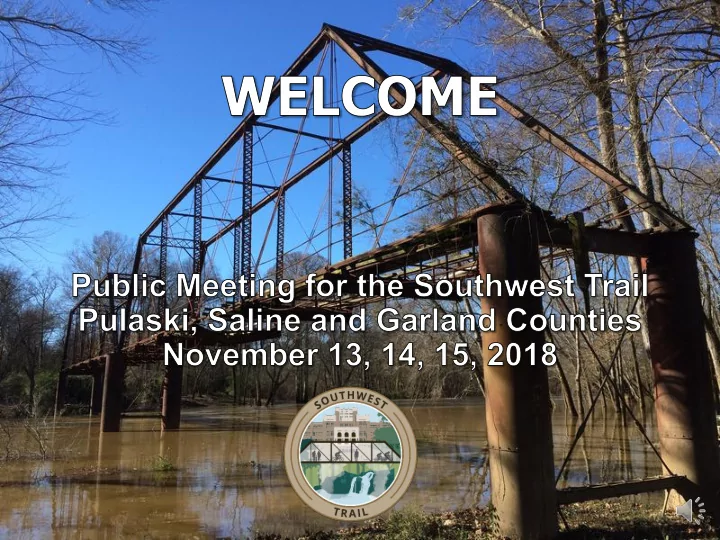

OPEN HOUSE FORMAT The following presentation gives a brief summary of the project and how to participate in this meeting. This is an “open house” format, so please review the maps and other materials at your own pace. You may stay and ask questions and review the materials as long as you need between 4 and 7 p.m. The maps on the tables show the preliminary alignments for the Southwest Trail. They are organized by county, so you can easily locate any areas of interest. Our staff are all wearing name tags. Please Ask Questions. Please give us feedback by filling out a comment form.
WHY DO WE NEED THIS PROJECT? The PURPOSE of the Southwest Trail: To provide a multi-use path connecting the Hot Springs National Park, the Old Saline River Bridge, the Little Rock Central High School Historic Site, and the Arkansas River Trail System. The project-specific NEEDS include: Improved Connectivity Alternative Transportation Facility Recreation Opportunities Stimulate Economic Opportunities
WHAT IS THE STUDY PROCESS? We are here tonight because this project has federal funding, which requires a review process called an Environmental Assessment, or EA for short. The purpose of the EA is to identify a Preferred Alignment that minimizes the negative impacts to the natural and social environment while addressing the needs of the project to the greatest extent possible. The EA study process began in April of 2018 and is estimated to be complete in November 2019. Participation by the public, agencies, and local, state and federal officials is key to the success of this EA.
WHAT HAPPENS NEXT? Incorporate Public 15 Days to Stakeholder Input Submit Input Input TODAY Additional Revise Environmental Alternatives Studies and Design Work Identify Prepare Hold Preferred Environmental Public Meeting Alignment Document
WHERE IS THE PROJECT LOCATED? The Southwest Trail will be approximately 60 miles long and pass through Garland, Saline and Pulaski Counties utilizing both urban and rural routes.
WHAT ARE WE REVIEWING? Preliminary alignments have been developed with consideration for various environmental and design concerns. These alignments are shown on the big rollout maps. There is single primary alignment as well as 17 different optional alignment segments. If you want to see greater detail for a specific area than is shown on the large rollout map, ask one of our staff to help you look at more detailed mapping files on one of the laptops.
WHAT IS CONSIDERED DURING DESIGN? Some of the many considerations in the project development are: Wetlands Road Crossings Floodplains Bridges and Culverts Endangered Species Railroad Crossings Access and User Safety Safety Community Connections Residential Impacts Topography (Trail Grade) Business Impacts Hazardous Materials Sites Economic Impacts Right of Way and Indirect Impacts Construction Costs Environmental Justice
WHAT WILL THE PATH LOOK LIKE? TYPICAL SECTIONS: Examples of various path construction options are presented on display boards. The Trail will use a variety of Shared Use Paths along existing roadways as well as New Location sections, taking advantage of the areas of natural beauty.
OUR COMMITMENT To provide an outstanding Southwest Trail alignment that maximizes the functionality and aesthetics for the users while minimizing the negative impacts to private property and the natural environment. We want to team with you to develop a project that improves the quality of life for Arkansans, both locally and regionally.
THANK YOU! Please Submit Your Comments by: Friday, November 30, 2018 Leave Your Comment Form Here Tonight or Mail the Comment Form Back to: Garver, Attn: Jon Hetzel, 4701 Northshore Drive, North Little Rock, AR 72118 Email Your Comments to: JDHetzel@GarverUSA.com Information is available at: http://ardot.gov/public_meetings/2018/061562/061562.aspx
Recommend
More recommend