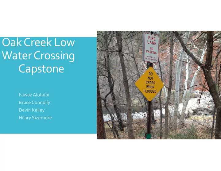

Oak Creek Low Water Crossing Capstone FawazAlotaibi Bruce Connolly Devin Kelley Hilary Sizemore
Research Analysis Geomorphology Modeling AutoCAD Gantt Project Survey Hydraflow Express USGS Data Chart Bentley Water Gems Gauge Data Culvert Master HEC ‐ RAS Tasks Design Impacts Political Reports & Presentation Social 50% Design Report
Finished Surveying Points Created Cross Sections for HEC ‐ RAS Gathered Sedona Gage Data Not using HEC ‐ HMS Past 2 Weeks Delineated Watershed (01/27 ‐ 02/11) Impacts Social Political
Finished Survey Topography Looking Up Stream ‐ Completed Looking Down Stream ‐ Incomplete
Sedona gage station is below Shangri La low water crossing Gage data is available Sedona Gage Removal of HEC ‐ HMS Data Possibility of errors More convenient Simple Area Regression
Watershed Delineation • Area = 140 sq. mi. • Area Regression from Gage Data • ~ 60% from Sedona gage
Social Political Improved dependability on the crossing Negligence and major Impacts Higher property values changes to Oak Creek could result in legal Constant access actions taken by the Potential for safe community working conditions in Oak Creek
Finish Interpreting Gage Data Finish HEC ‐ RAS Model Next 2 Weeks Start Analysis Rain and Snowmelt Geomorphology (02/11 ‐ 02/24) 12000 Culvert Master 10000 AutoCAD 8000 Begin 50% Design CFS 6000 Report 4000 2000 0 1 10 Flood Return Period (years)
Recommend
More recommend