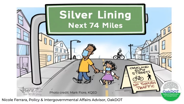

Photo credit: Mark Fiore, KQED Nicole Ferrara, Policy & Intergovernmental Affairs Advisor, OakDOT
Demands for safe space to walk, jog and bike creating public health risks Considerations: Attractive nuisance vs. ● public health centered solution Supporting behaviors ● people are already doing (healthy essential travel) Ensuring the health and ● safety of our crews Extremely swift rollout ● www.oaklandca.gov/projects/oakland-slow-streets
74 miles of streets ● vetted by engineers and public through 2019 Bike Plan Mostly residential, avoids ● bus routes Allows for physical ● distancing across city www.oaklandca.gov/projects/oakland-slow-streets
“Soft Closures” Began within 32 hrs of Announcement on 4 streets/4.5 miles Street selection : Equity indicators: ● communities of concern, access to parks, all are proposed neighborhood bike routes No major challenges ● (transit, high traffic volumes, emergency services, etc.) Other 70 miles : discourage driving www.oaklandca.gov/projects/oakland-slow-streets
Phase 1: Details, Outcomes Barriers & signs: rented, target ● highest traffic intersections, marked w/ spray chalk Volunteer support: flyering, ● evaluation, replacing & reporting barrier issues Outcomes: very positive overall, ● compliance w/ distancing & speeding, demand for more, concerns about process & engagement esp. from E. Oak. www.oaklandca.gov/projects/oakland-slow-streets
“Soft Closures” Expand 6 Days Later with Additional 4 Streets/4.5 miles www.oaklandca.gov/projects/oakland-slow-streets
Phase 2: Adjustments to Process Established Emergency ● Operations Center protocol and plan More proactive coordination w/ ● partner agencies, county public health dept. and internally www.oaklandca.gov/projects/oakland-slow-streets
Phase 2: Adjustments to Engagement Added round of community input ● and direct outreach to CBOs Established ways for formal input: ● 311 and online survey New flyers for branding ● www.oaklandca.gov/projects/oakland-slow-streets
More to Come: Iterative Approach Maintenance ● Virtual Strategy ● Tactical urbanism ● Additional streets off ● Neighborhood Bike Routes w/ CBO and broader community engagement Evaluation: photo documentation, ● survey and 311 results, weekly crash reports from OPD www.oaklandca.gov/projects/oakland-slow-streets
www.oaklandca.gov/projects/oakland-slow-streets Photo credit: Mark Fiore and KQED
Recommend
More recommend