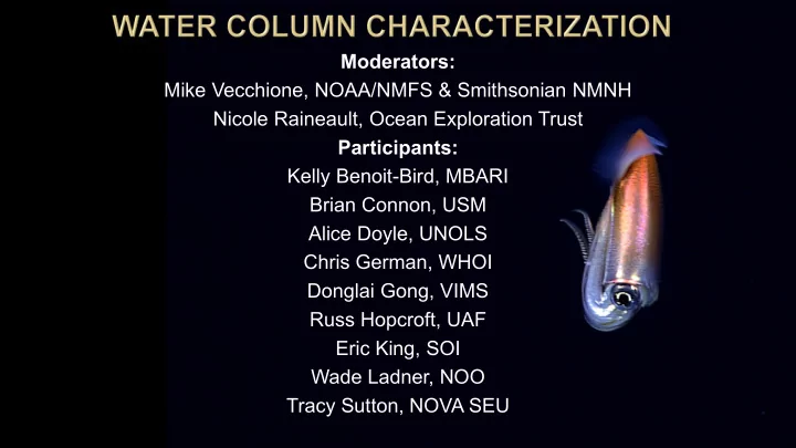

Moderators: Mike Vecchione, NOAA/NMFS & Smithsonian NMNH Nicole Raineault, Ocean Exploration Trust Participants: Kelly Benoit-Bird, MBARI Brian Connon, USM Alice Doyle, UNOLS Chris German, WHOI Donglai Gong, VIMS Russ Hopcroft, UAF Eric King, SOI Wade Ladner, NOO Tracy Sutton, NOVA SEU
Habitat Area (km 2 ) % of ocean floor Proportion References investigated Deep water (pelagic) 1,000,000,000 km 3 73% of water in oceans <<0.0001% Herring, 2002; Vecchione pers. Comm. Deep seafloor 326,000,000 km 2 100% 0.0001% Tyler, 2003 Abyssal plains 244,360,000 km 2 75% <1% Gerlach, 1994 Continental margin 40,000,000 km 2 11% minimal L. Menot, unpublished data (150 to 3500 m depth) Ridges 55,000 km long. 9.20% 10% Area: German, estimated from German et al., 2004. 30,000,000 km 2 (young Exploration: Baker & German, 2004 crest <1 myr) Seamounts 8,500,000 km 2 2.6% 0.25 – 0.28 % (250-280 Seamounts Online, 2009 http://seamounts.sdsc.edu seamounts sampled of ca. 100,000) Hadal zone 37 trenches (area not 1% minimal Blankenship and Williams, in press estimated) Canyons 448 canyons with a unknown minimal Estimated from Shepard & Dill, 1966 and GEBCO total estimated lenght of 25000 km. Area unknown. OMZ (benthic) 1,148,000 km 2 0.35% <1% Helly & Levin, 2004 Cold-water coral reefs estimated 280,000 km 2 0.08% minimal UNEP, http://www.unep.org/cold_water_reefs/comparison.htm Hydrothermal vents Approx. 2000 vents. unknown 10% (200 known vents German et al., 2004 Area unknown. of ca.2000) Cold seeps 10,000 km 2 0.003% 2% Cordes, pers. comm. ~ 35 km 2 (690,000 Whale falls 0.00001% 0.005% (~30 out of Smith and Baco, 2003; Smith, 2006; Treude et al., 2009 whale falls with ca. 50 690,000 estimated m 2 per fall) sulfide-rich whale falls)
Habitat Area (km 2 ) % of ocean floor Proportion References investigated Deep water (pelagic) 1,000,000,000 km 3 73% of water in oceans <<0.0001% Herring, 2002; Vecchione pers. Comm. Deep seafloor 326,000,000 km 2 100% 0.0001% Tyler, 2003 Abyssal plains 244,360,000 km 2 75% <1% Gerlach, 1994 Continental margin 40,000,000 km 2 11% minimal L. Menot, unpublished data (150 to 3500 m depth) Ridges 55,000 km long. 9.20% 10% Area: German, estimated from German et al., 2004. 30,000,000 km 2 (young Exploration: Baker & German, 2004 crest <1 myr) Seamounts 8,500,000 km 2 2.6% 0.25 – 0.28 % (250-280 Seamounts Online, 2009 http://seamounts.sdsc.edu seamounts sampled of ca. 100,000) Hadal zone 37 trenches (area not 1% minimal Blankenship and Williams, in press estimated) Canyons 448 canyons with a unknown minimal Estimated from Shepard & Dill, 1966 and GEBCO total estimated lenght of 25000 km. Area unknown. OMZ (benthic) 1,148,000 km 2 0.35% <1% Helly & Levin, 2004 Cold-water coral reefs estimated 280,000 km 2 0.08% minimal UNEP, http://www.unep.org/cold_water_reefs/comparison.htm Hydrothermal vents Approx. 2000 vents. unknown 10% (200 known vents German et al., 2004 Area unknown. of ca.2000) Cold seeps 10,000 km 2 0.003% 2% Cordes, pers. comm. ~ 35 km 2 (690,000 Whale falls 0.00001% 0.005% (~30 out of Smith and Baco, 2003; Smith, 2006; Treude et al., 2009 whale falls with ca. 50 690,000 estimated m 2 per fall) sulfide-rich whale falls)
Habitat Area (km 2 ) % of ocean floor Proportion investigated Deep water 1,000,000,000 73% of water vol <<0.0001% (pelagic) km 3 326,000,000 km 2 Deep seafloor 100% 0.0001% Abyssal plains 244,360,000 km 2 75% <1% Continental 40,000,000 km 2 11% minimal margin (150 to 3500 m depth) Ridges 55,000 km long. 9.20% 10% 30,000,000 km 2 (young crest <1 myr) Seamounts 8,500,000 km 2 2.6% 0.25 – 0.28 %
Exploring in 4 dimensions Drivers light temperature oxygen no place to hide Interactions with bottom Webb TJ, Vanden Berghe E, O'Dor R (2010) Biodiversity's Big Wet Secret: The Global Distribution of Marine Biological Records Reveals Chronic Under-Exploration of the Deep Pelagic Ocean. PLoS ONE 5(8): e10223. doi:10.1371/journal.pone.0010223
Robison et al. (2010)
Topics Considered: 1. Data Gaps Basically, the entire deep water column is a global data gap. Previous OE attempts insufficient. 2. Strategies, Methods, and Tools Coordinated use of multiple tools (some requiring development). Observation, nets, acoustics, water chemistry, sensing. 3. Partnerships Academics, fisheries agencies, philanthropy, citizen science. 4. Regional Priorities Not tied as closely to specific locations as other (bottom-oriented) OE targets. Dynamic 4D, structured largely by depth.
Summary Recommendations: 1. Devote ship time to dedicated water-column expeditions to address large data gaps. 2. Build partnerships with groups to aid in rapid image- and data-analysis tools and to leverage the strength and resources of commercial, governmental, academic, and non-profit institutions. 3. Support the development and testing of water-column-specific technologies to improve our ability to collect, analyze, and visualize appropriate data within this 4D space. 4. Develop efficient and effective characterization protocols by utilizing multiple complementary techniques and approaches (e.g., nets, acoustics, imaging, and in situ sensing) to execute multi-disciplinary programs. 5. In addition to standardized characterization, determine how best to target specific pelagic phenomena such as oxygen-minimum zones and the bathypelagic- mesopelagic transition (particularly in areas targeted for uses such as mining), to support informed decision-making regarding the growing Blue Economy.
Are there any questions?
Recommend
More recommend