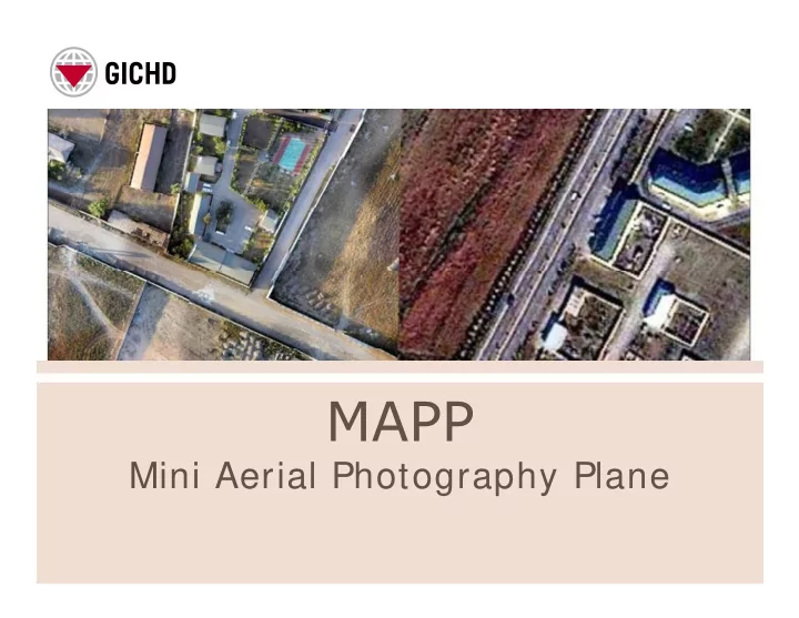

Mini Aerial Photography Plane
Humanitarian Demining Demining Mine risk Mine risk Advocacy Advocacy education UN pillars of mine action Stockpile Victim destruction destruction assistance assistance
• Independent, impartial and neutral expert organisation founded in 1998. • • Deals with all aspects of landmines, cluster munitions, explosive Deals with all aspects of landmines, cluster munitions, explosive remnants of war and ammunition safety management. • Financed by voluntary contributions and through commissioned work (governments, international organisations, NGOs). • Council of Foundation • • President: Dr Barbara Haering President: Dr Barbara Haering • 20 States (9 mine and ERW-affected countries), European Union & UNMAS
Potential use In Mine Action > Enhance planning, recording, and reporting capabilities • Indirect indicators of contamination • Update cartography material • Communication • Define object geo location • Improve prioritization and planning of field operations • Improve prioritization and planning of field operations
Survey on mine action user needs of UAS
> Tested in Switzerland, Sweden, Azerbaijan, Iraq > Tested in Switzerland, Sweden, Azerbaijan, Iraq
> Identified UAS criteria for mine action > Identified UAS criteria for mine action • • Cost Cost • Compact and easy transportable • Compliant to security and legislation • • Easy to use Easy to use • Good peripheral tools and services
> Direct Evidences (Sweden)
> Indirect Evidences (Sweden)
Mine presence/absence Indicators Road/path not longer in use (Bosnia & Herzegovina) 1996 2005
Mine presence/absence Indicators Land use change (Bosnia & Herzegovina) 2005 2011
> Map inaccessible areas (Iraq ) > Map inaccessible areas (Iraq ) > Accuracy 1,5 m
3D analysis • Advantages of the 3D analysis: – increase the accuracy of area size calculations of contaminated surfaces; contaminated surfaces; – more realistically assess the operational difficulty of demining in a region by integrating slope and elevation into the analysis; elevation into the analysis; – better prepare field operations; – determine the potential location of mines that may have moved over time through water run-off or have moved over time through water run-off or surface movement; and – report on demining activities in a more visually intuitive manner.
> Accuracy 1,5 m (Azerbaijan)
> Easy to Use: 3 days of training, demonstrations (Iraq)
> Challenges • Legal • Legal • Cost • Logistics • Capacity • Imagery processing
Recommend
More recommend