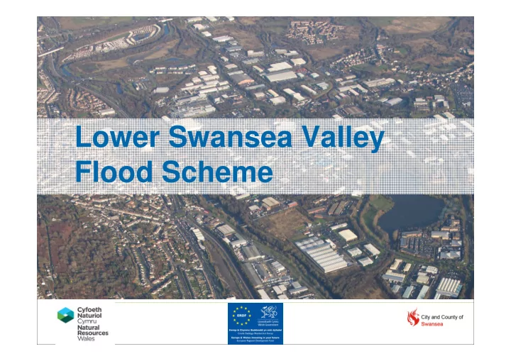

Lower Swansea Valley Flood Scheme
Background Lower Swansea Valley Regionally important economic area 18 th Century heavy industry 1980s enterprise park – commercial and retail
Investigate problem Update hydrology and improve 1D-2D hydrodynamic model. Found: overtopping 1 in 10 annual chance event 284 businesses and 16 homes 1 in 100 annual chance Flood hazard due to depths, velocity & transient population Northern embankment substandard factor of safety
NORTH SOUTH Remove embankment New Remove wetland watermain and habitat existing bridge area New footbridge New embankment, River Raise set back from river Tawe embankment River New culvert Tawe debris screen and flood walls New flood walls Fendrod New embankments Raised embankments Remove redundant bridges New embankments London railway & walls + emergency planning and awareness raising
Removing redundant structures Footbridge above design flood level Remove redundant bridges River Tawe
Making Space for Water N M4 Proposed setback embankment Lowered wetland habitat creation along historic river Caravan Park alignment Existing embankment removed River Tawe
Existing
Summer 2013 - Earthworks
Excavation of cut off trench
Installation of new bridge
Conclusions Collaborative approach NRW-CCSwansea Galliford-Black&Veatch Aligned commercial drivers Reduced risk to life and damage to property of regionally important area
Recommend
More recommend