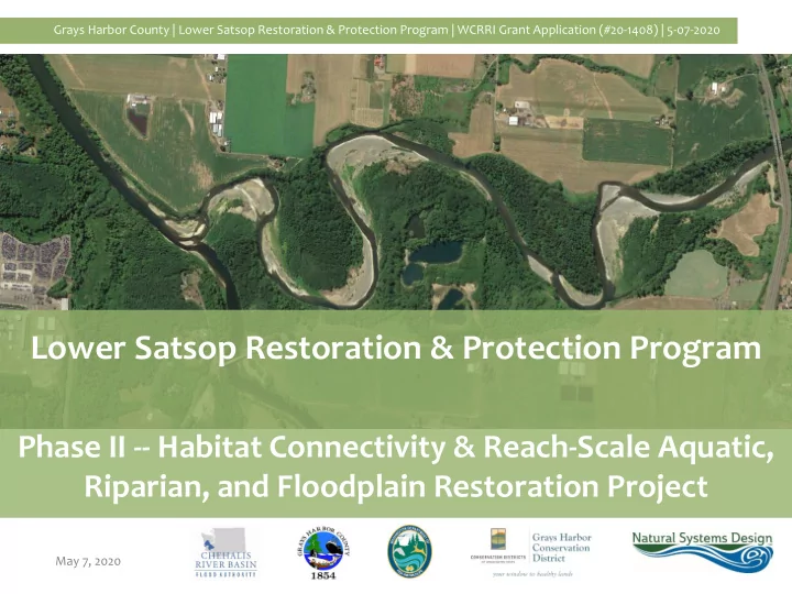

Grays Harbor County | Lower Satsop Restoration & Protection Program | WCRRI Grant Application (#20-1408) | 5-07-2020 Lower Satsop Restoration & Protection Program Phase II -- Habitat Connectivity & Reach-Scale Aquatic, Riparian, and Floodplain Restoration Project May 7, 2020
Grays Harbor County | Lower Satsop Restoration & Protection Program | WCRRI Grant Application (#20-1408) | 5-07-2020 Background Bank Erosion Revetments Keys Road Port Well WDFW Restoration Project 2018 Avulsion Habitat Loss Loss of Floodplain Access Community Frustration Lack of Momentum 1 of 14
Grays Harbor County | Lower Satsop Restoration & Protection Program | WCRRI Grant Application (#20-1408) | 5-07-2020 Background 1953 2019 2 of 14
Grays Harbor County | Lower Satsop Restoration & Protection Program | WCRRI Grant Application (#20-1408) | 5-07-2020 Background (Phase I 2020) Bypass Channel and Apex Group South Revetment North Revetment 3 of 14
Grays Harbor County | Lower Satsop Restoration & Protection Program | WCRRI Grant Application (#20-1408) | 5-07-2020 Background (Advisory Group) 4 of 14
Grays Harbor County | Lower Satsop Restoration & Protection Program | WCRRI Grant Application (#20-1408) | 5-07-2020 WCRRI Proposal (Objectives) Build on investment in East Fork Satsop (Early-Action ASRP) by improving connectivity between critical habitats. Achieve reach-scale effect on sediment and flow dynamics. 35 in-channel structures 130 acres of riparian planting Reduce invasive species (~10 acres invasive plant control). 5 of 14
Grays Harbor County | Lower Satsop Restoration & Protection Program | WCRRI Grant Application (#20-1408) | 5-07-2020 WCRRI Proposal (Reach-Scale Design Concept) 6 of 14 Red Outline = Phase I (2020)
Grays Harbor County | Lower Satsop Restoration & Protection Program | WCRRI Grant Application (#20-1408) | 5-07-2020 WCCRI Proposal (Reach-Scale Design Concept) 7 of 14 Red Outline = Phase I (2020)
Grays Harbor County | Lower Satsop Restoration & Protection Program | WCRRI Grant Application (#20-1408) | 5-07-2020 Proposal (TRP Evaluation Criteria) Restoration Benefit 1. Species • Provides reach-scale habitat benefit, connectivity to upper watershed. Winter-run Steelhead; Coho; Fall & Summer-run Chinook; Chum; • Northern red-legged frog; Olympic mudminnow; Great blue heron; North American beaver; resident Coastal Cutthroat; resident char. 2. Physical Engineered log jams and riparian plantings are designed, constructed • Processes and as self-sustaining, self-regulating, process-based solutions. Features Adaptive management follows implementation of each Phase. • 3. Quantity of Example quantifiable benefit categories include: Stable gravels for • Benefit spawning; Cool refugia; Shallow-water margins; Reduced stream power; Building/reengaging floodplain; Edge habitat complexity. Community Benefit 4. Jobs 2.5 FTEs created. 2 FTEs maintained. • 5. Direct Protects irreplaceable, high value farmland and preserves local, state • Community Impacts revenues; Reduces erosion pressure on Keys Road, Satsop Business and Improvements Park potable water supply; Restores habitat for recreation, tourism. 6. Threat Reduction Protects private property, Keys Rd., Satsop well from river migration. • 8 of 14
Grays Harbor County | Lower Satsop Restoration & Protection Program | WCRRI Grant Application (#20-1408) | 5-07-2020 Proposal (TRP Evaluation Criteria) Likelihood to Succeed 7. Logical Phase II is natural continuation of Phase I (2020); will be finalized • Approach and through multi-agency advisory group and community meetings (like Schedule Phase I); and will draw on success achieved in analogous systems. 8. Appropriate Wood structures, extensive riparian planting, invasive plant control will • Scope w/ Clear improve ecosystem functions, resilience (will restore, improve Goals, Objectives sediment dynamics; create, connect habitat; protect community). 9. Sponsor, Natural Systems Design specializes in this type of restoration; has prior • Participants experience in Satsop River watershed; and has seen through the Experience highly-successful Upper Quinault river restoration effort. Cost and Legal 10. Permits and • Landowners, regulatory agencies have been actively engaged in Land Owners development of Lower Satsop Restoration & Protection Program, as well community members. All have consistently voiced support. 11. Best Use of • Funds continue a well-developed, thoughtful implementation plan. Public Funds Watershed benefits will compound for earlier investments: East Fork • early action reach; WDFW ponds; Phase I Keys Road. 9 of 14
Grays Harbor County | Lower Satsop Restoration & Protection Program | WCRRI Grant Application (#20-1408) | 5-07-2020 Photos (Lower Satsop, Existing Condition) 1953 2019 10 of 14
Grays Harbor County | Lower Satsop Restoration & Protection Program | WCRRI Grant Application (#20-1408) | 5-07-2020 Photos (Lower Satsop, Existing Condition) Click below (and scroll to bottom of page) 11 of 14
Grays Harbor County | Lower Satsop Restoration & Protection Program | WCRRI Grant Application (#20-1408) | 5-07-2020 Photos (Analogs) 12 of 14
Grays Harbor County | Lower Satsop Restoration & Protection Program | WCRRI Grant Application (#20-1408) | 5-07-2020 Photos (Analogs) Timber complex Upper Quinault, South Shore Road Deflector structures, Apex jam 13 of 14
Grays Harbor County | Lower Satsop Restoration & Protection Program | WCRRI Grant Application (#20-1408) | 5-07-2020 Questions Web: Contacts: Organization Grays Harbor Rob Wilson 360/249-4222 County RWilson@co.grays-harbor.wa.us Matt Tiedemann (through Aug) Natural matt@naturaldes.com Systems 206/462-1245 Design Miranda Smith (after Aug) 206/480-1127 miranda@naturaldes.com 14 of 14
Recommend
More recommend