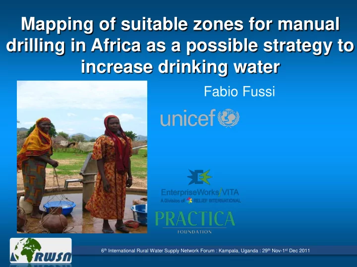

Mapping of suitable zones for manual drilling in Africa as a possible strategy to increase drinking water Fabio Fussi 6 th International Rural Water Supply Network Forum : Kampala, Uganda : 29 th Nov-1 st Dec 2011
Why UNICEF promotes manual drilling? Manual drilling advantages • Cost Effective • Easier access to sites • Tools are made locally • Creates employment • Ready in emergencies But manual drilling can give good results only if it is done by qualified technicians PROFESSIONALIZATION OF MANUAL DRILLING 6 th International Rural Water Supply Network Forum : Kampala, Uganda : 29 th Nov-1 st Dec 2011
Professionalization of manual drilling 3 main modules: Mapping suitable Technical training Advocacy and institutional support zones And 3 partners: UNICEF, Practica, Enterprise works 6 th International Rural Water Supply Network Forum : Kampala, Uganda : 29 th Nov-1 st Dec 2011
Goal of the mapping study identification of suitable zones at country level Definition of zones having highest priority for the implementation of manual drilling Set up a national geographic database 6 th International Rural Water Supply Network Forum : Kampala, Uganda : 29 th Nov-1 st Dec 2011
Study area Mapping at country level has been completed in 12 countries. (Benin, Central African Republic, Chad, Ivory Coast, Liberia, Madagascar, Mali, Mauritania, Niger, Senegal, Sierra Leone Togo (results available at: http://www.unicef.org/wash/in dex_54332.html), It is almost completed in Zambia and Burundi It starts in December in Guinea 6 th International Rural Water Supply Network Forum : Kampala, Uganda : 29 th Nov-1 st Dec 2011
Main criteria to evaluate suitability to manual drilling Suitability to manual drilling is determined on the basis of 3 main parameters: GEOLOGICAL SUITABILITY WATER DEPTH Cross Analysis SUITABILITY SUITABILITY GEOMORPHOLOGICAL TO MANUAL SUITABILITY DRILLING 6 th International Rural Water Supply Network Forum : Kampala, Uganda : 29 th Nov-1 st Dec 2011
Estimating geological suitability GEOLOGICAL MAP Existing geological, geomorphological and Aggregation hydrogeological studies SIMPLIFIED GEOLOGICAL MAP Direct experience of geologist and drillers Table Extraction of data for first layers describing main Borehole logs and visualization in maps features of Distribution of hand dug Water point database geological wells formations MAP OF GEOLOGICAL Attribute Join SUITABIITY Reclassification 6 th International Rural Water Supply Network Forum : Kampala, Uganda : 29 th Nov-1 st Dec 2011
Estimating water depth suitability DATABASE OF WATER POINTS Visualization by class of water depth and type of water point Existing hydrogeological studies Direct experience of hydrogeologists and Direct interpretation – identification of drillers zones with similar expected water depth Climatic and environmental data and Estimation of studies MAP OF WATER predominant DEPTH SUITABILITY exploitable water depth by zone 6 th International Rural Water Supply Network Forum : Kampala, Uganda : 29 th Nov-1 st Dec 2011
Water depth suitability Direct and visual interpretation of distribution of water level in water points of the database 6 th International Rural Water Supply Network Forum : Kampala, Uganda : 29 th Nov-1 st Dec 2011
Estimating geomorphological suitability DIGITAL ELEVATION MODEL (SRTM, 90 m Geomorphological resolution studies and maps Interpolation and Direct interpretation and digitizing automatic processing landforms Topographic Position SLOPE Index MAP OF MORPHOLOGICAL MAP (SLOPE GEOMORPHOLOGICAL POSITION CLASSIFICATION) SUITABILITY 6 th International Rural Water Supply Network Forum : Kampala, Uganda : 29 th Nov-1 st Dec 2011
Final map of general suitability to manual drilling Geological suitability Water depth suitability Morphological suitability GENERAL SUITABILITY TO MANUAL DRILLING 6 th International Rural Water Supply Network Forum : Kampala, Uganda : 29 th Nov-1 st Dec 2011
Some important aspects of the methodology GOOD COORDINATION BETWEEN REMOTE INTERNATIONAL STAFF AND LOCALLY BASED TECHNICIANS BASED ON ALREADY EXISTING (BUT NOT ORGANIZED) DATA. IMPROVEMENT OF THE INFORMATION AVAILABLE FOR FUTURE STUDIES MIXED ANALYSIS OF SYTEMATIZED DATABASE AND QUALITATIVE INFORMATION COMING FROM LOCAL EXPERIENCE ALL THE GIS PROCEDURE CAN BE DONE WITH FREE OPEN SOURCE SOFTWARE 6 th International Rural Water Supply Network Forum : Kampala, Uganda : 29 th Nov-1 st Dec 2011
Defining zones with highest priority for manual drilling • Very good suitability • More than Cross Analysis 75%without water PLANNING GEOGRAPHIC LOCATION FOR MANUAL DRILLING IMPLEMENTATION 6 th International Rural Water Supply Network Forum : Kampala, Uganda : 29 th Nov-1 st Dec 2011
From the identification of suitable zones at country level to detailed localization It is important to carry out a more detailed analysis to go from the identification at country level to the precise localization of best sites for manual drilling. The same data and approach can contribute to this following step 6 th International Rural Water Supply Network Forum : Kampala, Uganda : 29 th Nov-1 st Dec 2011
The geographic database The geographic database produced during this study contains multi-sectorial information that can be used for different topics: Natural resources management and conservation Agriculture Water supply How we can maximise Infrastructure and transport Demography its effectiveness ? Health • WRITING TECHNICAL NOTES • MAKING IT ACCESSIBLE (WEB PUBLISHING?) • COMPLETING WITH OTHER DATA • KEEP UP TO DATE 6 th International Rural Water Supply Network Forum : Kampala, Uganda : 29 th Nov-1 st Dec 2011
Thank you fabio.fussi@usa.net 6 th International Rural Water Supply Network Forum : Kampala, Uganda : 29 th Nov-1 st Dec 2011
Recommend
More recommend