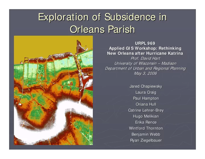

Exploration of Subsidence in Exploration of Subsidence in Orleans Parish Orleans Parish URPL 969 URPL 969 Applied GI S Workshop: Rethinking Applied GI S Workshop: Rethinking New Orleans after Hurricane Katrina New Orleans after Hurricane Katrina Prof. David Hart Prof. David Hart University of Wisconsin – University of Wisconsin – Madison Madison Department of Urban and Regional Planning Department of Urban and Regional Planning May 3, 2006 May 3, 2006 Jared Chapiewsky Chapiewsky Jared Laura Craig Laura Craig Paul Hampton Paul Hampton Oriana Hull Hull Oriana Catrine Lehrer Lehrer- -Brey Brey Catrine Hugo Melikian Hugo Melikian Erika Rence Erika Rence Wintford Thornton Wintford Thornton Benjamin Webb Benjamin Webb Ryan Ziegelbauer Ziegelbauer Ryan
Project Goals Project Goals ► Explore impact of subsidence ► Explore impact of subsidence rates on future building rates on future building ► Examine other landscape Examine other landscape ► features to find trends features to find trends ► Review availability, access, ► Review availability, access, and documentation of GIS and documentation of GIS data data
Landscape Variables Landscape Variables ► Control Points Stability ► Control Points Stability ► Soils ► Soils ► Geology ► Geology ► Wells ► Wells ► Land Use ► Land Use ► Flood Zones ► Flood Zones ► Faults ► Faults
Faults and Subsidence Faults and Subsidence ► From, From, Sherwood M. Gagliano, E. Burton Kemp ► III, Karen M. Wicker and Kathy S. Wiltenmuth ► Active Geological Faults and Land Change in ► Active Geological Faults and Land Change in Southern Louisiana Southern Louisiana
Gagliano, Kemp, Wicker and Wiltenmuth, Coastal Environments, Inc.
Gagliano, Kemp, Wicker and Wiltenmuth, Coastal Environments, Inc.
Gagliano, Kemp, Wicker and Wiltenmuth, Coastal Environments, Inc.
Summary of CEI Findings Summary of CEI Findings ► “There is a relationship between faults and land loss. Faults cause land loss.” ► “Fault movement is the result of linked regional tectonic processes, which are driven by sediment loading, compaction, salt movement and gravity slumping.” ► “Fault movement changes surface elevation and slope.” ► “Surface features such as wetlands, natural levees, barrier islands, fastlands, etc., are affected by fault movement.” ► “Rate of vertical movement on active faults ranges from 0.005 to 0.04 ft/yr.” Gagliano, Kemp, Wicker and Wiltenmuth, Coastal Environments, Inc.
Limitations Limitations ► Limited metadata ► Limited metadata ► Non ► Non- -standard data structures standard data structures ► Geospatial One Stop ► Geospatial One Stop � Increased accessibility and availability � Increased accessibility and availability � Improve data downloads from web � Improve data downloads from web- -mapping mapping ► Poor elevation benchmark integrity ► Poor elevation benchmark integrity
Future Considerations Future Considerations ► Connection between sea level rise and ► Connection between sea level rise and subsidence subsidence ► Control points, rainfall and tides ► Control points, rainfall and tides ► Impact of building density and weight ► Impact of building density and weight ► Impact of wells ► Impact of wells ► Soils data at greater depth ► Soils data at greater depth ► Regional subsidence and faults ► Regional subsidence and faults
Recommend
More recommend