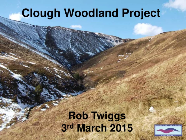

Clough Woodland Project Rob Twiggs 3 rd March 2015 1
Content Clough woodland? Background Objectives Opportunities Guiding Principles Impacts Benefits 2
Clough Woodland? Clough? Term used in Peak District & further north Steep sided moorland valleys & watercourses Convey runoff from moor to river OS Maps – 1:25,000, 1:10,000 Woodland? Native broadleaf woodland Oak-Birch with bilberry NVC W17/W16 Birch with purple moor-grass NVC W4 Open ground, natural & varied structure Moors for the Future 3
Clough? Not blocks of conifers. Moors for the Future
Clough? Not on the blanket bog. SAC Priority Habitat. Moors for the Future
Not to adversely affect Qualifying Features of SAC & SPA or integrity of the European Site. Blanket Bog Dry Heath Wet Heath Acid Flushes Golden Plover Merlin Short-Eared Owl Peregrine Dunlin Moors for the Future 6
Something like this… Moors for the Future
Or like this…
Or like this…
Or like this… Moors for the Future 10
Or like this… 11
Moors for the Future 12
Moors for the Future 13
14
15
Project Partners Moors for the Future 16
Key Objectives Raise awareness of benefits of clough woodland Identify priority sites Advise landowners Facilitate funding applications Consents guidance Ring Ouzel (Bob Garrett, 2014) Create quality native broadleaf woodland 17
Decline in Clough Woodlands Factors: Historic management Grazing pressures Air pollution Clearance Impact: Degraded habitats Black Grouse (RSPB) Species supported Erosion & sediment Loss of riparian shading Hydrology Moors for the Future 18
Project Drivers Dark Peak – BAP Objectives & Targets PDNP Landscape Strategy & Action Plan Lower Derwent Flood Risk Strategy Woodlands for Water High Peak Moors Vision Wood Warbler (John Richardson, 2014) MFFP Business Plan 19
Lower Derwent Flood Risk Strategy Modelling work completed as part of Lower Derwent Flood Risk Management strategy 2011, assessed how certain land management options, including afforestation, could help reduce peak flood flows. Results showed afforesting 60% of the catchment resulted in reduced downstream water levels (up to 340mm at St Mary’s Bridge Derby) and could reduce flood risk. Environment Agency, 2011 20
21
22
23
24
25
26
Opportunities Strategic approach to identifying priority cloughs in Upper Derwent to inform landowner/manager engagement Woodlands for Water PDNP - habitats & landholdings SUDS Manual (CIRIA, 2007) Dark Peak Upland Oakwoods GIS Project - FC, UU, PDNP Moors for the Future 27
Map 1 Extract data within Clough Woodland project area Resampled data to 50m grid 0.25 hectares Calculated area delivering WFD & FRM combined benefits Calculated area delivering WFD or FRM 28
Extract data within Clough Landscape Map 2 Zone Resampled data to 50m grid 0.25 hectares Calculated area delivering WFD & FRM combined benefits Calculated area delivering WFD or FRM Calculated remaining area within Clough Landscape Zone 29
Map 3 30
Site Prioritisation Extends or links woodland(s) Size Dominant vegetation Public access routes Naturalness of establishment Landscape enhancement Shelter & shade for livestock Water quality & quantity Countryside Stewardship scoring for woodland creation Short-eared owl (John Richardson, 2014) 31
32
Guiding Principles Mitigate potential adverse impacts National Park SSSI: Wildlife Geology SAC Habitats SPA Birds Archaeology Access land Upland farming 33
Consent – SPA, SAC Appropriate assessment required under Habitat Regulations: Mapped habitats from APs & survey data Ground truthed acid flushes Mapped site constraints GIS analysis Notional Potential Woodland Areas 34
Impacts of work Identified potential opportunities in Upper Derwent catchment Hectares Priority & Benefits (ha) 250 High priority to address WFD and FRM 608 High priority to address WFD 587 High priority to address FRM 2070 Other benefits e.g. biodiversity, landscape, shelter for livestock Up to 490 ha approved for EWGS WCG on NT Peak District Estate - Potentially up to £2.5 million 70 ha approved for increased tree & shrub cover under HLS options Moors for the Future 35
36
37
38
39
40
41
42
43
44
45
46
47
48
49
50
51
52
Habitat for Insects Upland broadleaf woodland Species – maximise benefits Closed canopy Edges, open space Rides and glades Food source Small pearl-bordered fritillary (Peter Eeles, 2015) 53
Habitat for Birds Food, nest sites, shelter Support declining birds Changes with time Closed canopy Open canopy and scrub Woodland edge Willow tit (RSPB) Predators 54
Habitat for Birds Food, nest sites, shelter Support declining birds Changes with time Closed canopy Open canopy and scrub Woodland edge Black Grouse (RSPB) Predators 55
Habitat for Birds Food, nest sites, shelter Support declining birds Changes with time Closed canopy Open canopy and scrub Woodland edge Redstart (RSPB) Predators 56
Habitat for Birds Food, nest sites, shelter Support declining birds Changes with time Closed canopy Open canopy and scrub Woodland edge Tree pipit (RSPB) Predators 57
Habitat for Birds Food, nest sites, shelter Support declining birds Changes with time Closed canopy Open canopy and scrub Woodland edge Tree pipit (RSPB) Predators 58
Habitat for Mammals Shrews Voles Mice Deer Fox Weasel Stoat 59
And not forgetting… Fungi Bats Reptiles Amphibians Freshwater invertebrates Fish – Salmonid Mosses & Lichens! 60
Keeping Rivers Cool Conceptual impact of riparian shading, tributary influences and discharge on stream temperature from catchment headwaters to outlets (based on Poole & Berman, 2001). Environment Agency, 2011. 61
Water Quantity & Water Quality 2 Demonstration sites 2 Control sites Flows & turbidity Hazen - proxy for DOC Funded to Dec 2014 62
Multiple Benefits Biodiversity Landscape enhancement Health & wellbeing Water quantity & quality Erosion & sediment Carbon storage Climate change resilience Shelter & shade for livestock Plant health resilience Evidence base 63
Thank you! Any questions? 07584 471243 Rob.Twiggs@peakdistrict.gov.uk 64
Recommend
More recommend