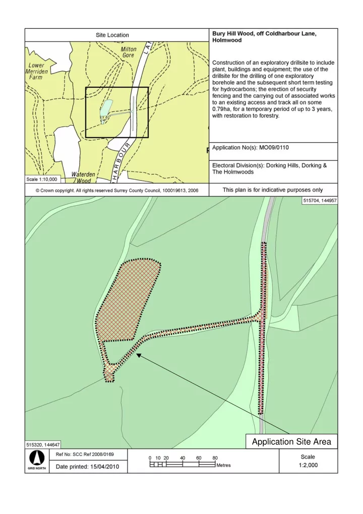

Application Site Area
Application Number : MO09/0110 Aerial 1 : Bury Hill Wood Coldharbour Lane Application Site Area N All boundaries are approximate
Application Number : MO09/0110 Aerial 2 : Bury Hill Wood Upper Merriden Application Site Area Cottage Lower Merriden Ivy Cottage 1 & 2 The Nest White Cottage Ranmore View Crockers Wood Cottages Coldharbour Village Anstibury Camp Leith Hill Tower N All boundaries are approximate
Application Number : MO09/0110 Aerial 3 : Bury Hill Wood Application Site Area N All boundaries are approximate
Application Number : MO09/0110 Aerial 4 : Bury Hill Wood Route to site Bridleway Byway Application Site Area Footpath N All boundaries are approximate
Application Number : MO09/0110 Fig 1 : Site access with Coldharbour Lane
Application Number : MO09/0110 Fig 2 : Site access with Forestry Commission barrier set back from site access
Application Number : MO09/0110 Fig 3 : The existing access track
Application Number : MO09/0110 Fig 4 : View of the proposed drilling compound from the gravel trackway that runs to the west of the site area
Application Number : MO09/0110 Fig 5 : View across proposed site from the northern boundary
Application Number : MO09/0110 Fig 6 : One of the ‘dells’ 18 th or 19 th century quarries
Application Number : MO09/0110 Fig 7 : Site of the proposed flare pit
Application Number : MO09/0110 Fig 8 : View towards proposed site from the roadside opposite Ivy, White and Ranmore View Cottages
Application Number : MO09/0110 Fig 9 : Coldharbour Lane would be used as a route to and from the site
Application Number : MO09/0110 Fig 10 : Footpath 247 Linked by Coldharbour Lane
Application Number : MO09/0110 Fig 11 : View of Knoll Road looking towards Coldharbour Lane
Application Number : MO09/0110 Fig 12 : The junction of Knoll Road, Ridgeway Road and Coldharbour Lane
Recommend
More recommend