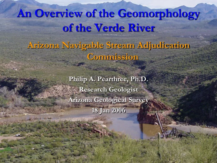

An Overview of the Geomorphology of the Verde River Arizona Navigable Stream Adjudication Commission Philip A. Pearthree, Ph.D. Research Geologist Arizona Geological Survey 18 Jan 2006
Major Rivers of Arizona Colorado Colorado Plateau Plateau • Flow through dry desert areas with < 12 in. avg annual precipitation Basin and • Head in high, Range relatively wet terrain • Perennial rivers exist because regional topography rings water Basin and out of atmosphere Range
watershed Verde River Flagstaff physiography C Paulden B • Rugged watershed Verde • Alternating bedrock C Valley canyons and alluvial basins B • River entrenched and Horseshoe and C somewhat confined even in Bartlett dams basins B Phoenix
Upper Verde canyon reach River deeply entrenched into bedrock Very limited lateral channel movement Clarkdale
Verde Valley basin reach • Relatively broad floodplains Sedona • River still entrenched Camp Verde • Topographic confinement Cottonwood provided by older deposits
Chasm Creek canyon reach Chasm Cr
Lower Verde River dams, canyons, alluvial reaches Salt R. confluence Fort McDowell reach Bartlett Reservoir
Basic river terminology Floodplains – areas along margins of river that are inundated in large floods; vegetation density variable Flood channels – areas of deep, high-velocity flow in floods with less large vegetation Low-flow channels – topographically lowest areas occupied by perennial stream flow, typically lined with vegetation Pools (wide, low-gradient, slow water) Riffles (narrow, steeper, coarse bed, relatively fast water)
Major geomorphic elements of the river Older alluvium – topographic constraint floodplain flood channel low-flow channel
Pool & Riffles Verde River below Childs
Variations in valley and floodplain form
Geomorphic elements of the Verde R Low-flow channel a small part of river flood channel system floodplain - young terrace Single or multi- threaded low-flow low-flow channels channel Broad flood channels formed by floods older terrace Anthropogenic impacts on channel and floodplain alluvial piedmont Topography constrains river movement
Camp Verde reach low-flow channel flood channel floodplain
Chasm Creek canyon reach Deeply entrenched in narrow valley Low flow channel occupies more of flood channel and flood low-flow valley bottom channel channel
Chasm Creek canyon reach Low flow channel 1 to 2 low-flow channel threads common Flood channel Occupies all of valley bottom
Fort McDowell alluvial reach Low-flow channel small part of floodplain 1 to 2 low-flow threads – stage dependent Lots of change in low-flow channel positions after floods
Fort McDowell alluvial reach low-flow channel tendency for multiple channels at slightly higher flow flood channel floodplain
Channel changes - Cottonwood reach Both photos shortly after one or more decent-sized floods Higher flow in 1940?
Channel changes - Cottonwood reach Large floods in late 1970’s Increasing human impacts on channel Aggregate operations
Examples of historical channel changes Net flood channel change, Camp Low-flow channel positions, Verde area Clarkdale – Tuzigoot area
Summary Verde River characterized by variations in valley, floodplain, and flood channel morphology Flood channels and low-flow channels modified in floods, especially low-flow channe nel positions Low-flow c channe nel morpho hologies and nd patte tterns vary a lot less than floodplains and flood channels Single low-flow channels with pools and riffles (rapids) characteristic
Recommend
More recommend