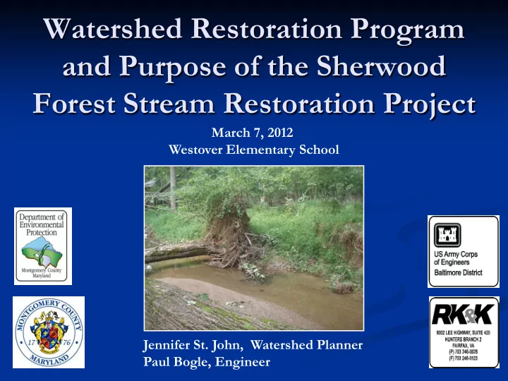

Watershed Restoration Program and Purpose of the Sherwood Forest Stream Restoration Project March 7, 2012 Westover Elementary School Jennifer St. John, Watershed Planner Paul Bogle, Engineer
Introductions Claire O’Neill and Carol Ohl U.S. Army Corps of Engineers (USACE) Bob Palmer Rummel, Klepper & Kahl (RK&K) Doug Redmond Maryland National Capital Park & Planning Commission (MNCPPC) Jennifer St. John, Paul Bogle and Craig Carson Montgomery County Department of Environmental Protection (MCDEP)
Meeting Agenda 7: 00 – Start of meeting; Poster session 7: 30 – Presentation 8: 00 – Q&A; Poster session 8: 30 – End of meeting
Outline What is the Problem? Background on Project Selection Project Goals Problems & Opportunities 95% Design Typical Details Restoration Monitoring Schedule RainScapes Rebate Program
What is the Problem? I m pervious ( hard surfaces) = I ncreased runoff & pollutants Reduced groundw ater recharge ( infiltration) I ncreased storm flow s & decreased base flow s Stream s eroded, incised I nfrastructure threatened Storm drain system s convey heated, dirty w ater directly to stream s Degraded aquatic habitat & w ater quality
What is the Problem? Stormwater Flows in Sherwood Forest Tributary, Sept 2011
What is the Problem? Stormwater Flows in Sherwood Forest Tributary, Sept 2011 Videos: click to play
Background on Project Selection The Sherwood Forest tributary was identified as a priority for restoration in the Northwest Branch Watershed Feasibility Study (July 2000). Montgomery County’s National Pollutant Discharge Elimination System (NPDES) Permit (issued in 2010) Requires: New stormwater management for 20% of existing impervious area that is currently unmanaged (~ 4,300 acres). Meet goals set forth in the “Potomac River Watershed Trash Treaty” Identify pollution sources and improve water quality in all county watersheds Increase use of Environmental Site Design (ESD), or Low Impact Development (LID)
Background on Project Selection Sherwood Forest tributary flows into the Northwest Branch watershed, and eventually the Anacostia River. Two other stream restoration projects planned in the Upper Northwest Branch to be completed with the Sherwood Forest stream restoration project: Batchellors Run and Woodlawn.
Background on Project Selection Sherwood Forest tributary flows into SHA I CC Stream Restoration Projects the Northwest Branch watershed, and eventually the Anacostia River. Two other stream restoration projects planned in the Upper Northwest Branch to be completed with the Sherwood Forest stream restoration project: Batchellors Run and Woodlawn.
Project Goals Improve aquatic habitat by enhancing pool and riffle fish habitat and creating overhead cover for fish; Stabilize eroding streambanks to reduce sediment entering the stream; Reforest stream banks for added bank stability and overhead cover; and Construct wetlands for amphibian habitat and improved water quality.
Problems & Opportunities Channel Existing Constrictions Proposed
Problems & Opportunities Channel Existing Constrictions Grade Control Proposed
Problems & Opportunities Channel Existing Constrictions Grade Control Eroded Proposed streambanks & inadequate stream buffers
95% Design 1
95% Design 2
95% Design 3
Typical Details Boulder J-hook
Typical Details Boulder/ Log Boulder J-hook Boulder J-Hook Log Boulder J-Hook
Typical Details Bankfull Bench Bankfull Bench
Typical Details Cross Vane Cross Vane
Typical Details Constructed Riffle Constructed Riffle
Typical Details Imbricated Rock Wall
Typical Details Log Meander Protection
Typical Details Temporary Construction Access
Typical Details Wetland Creation
Typical Details Wetland Creation
Typical Details Wetland Creation
Typical Details Wetland Creation Maryland Amphibian & Reptile Atlas (MARA) Volunteers needed! 5-year atlas documenting amphibian & reptile distributions in Maryland. www.marylandnature.org/mara/index.htm
Restoration Monitoring Project Goal Monitoring Improve aquatic habitat by enhancing Benthic and Fish Sampling; Rapid pool and riffle fish habitat and creating Habitat Assessments, and Physical overhead cover for fish Chemistry Measurements Stabilize eroding streambanks to reduce Quantitative Surveys (Longitudinal sediment entering the stream profile, cross sections, bed material characterization, and Bank Erosion Hazard Index (BEHI), Photo- documentation) Reforest streambanks and riparian area Botanical Reforestation Surveys; alongside stream for added bank Photo-documentation stability and overhead cover Construct wetlands for amphibian Wetland/ Vernal Pool Herpetofauna habitat and improved water quality Surveys
Restoration Monitoring
Restoration Monitoring Sample Date Percent Type Condition Score Benthics 4/23/2009 20 Poor Fish 7/8/2009 64 Fair Fish Found in 2009 Blacknose Dace Silverjaw Minnow Rosyside Dace Bluntnose Minnow Longnose Dace Tesselated Darter White Sucker Fantail Darter
Schedule Tentative Schedule (Subject to change): March 2012 - Public outreach meeting May 2012 – Public outreach field walk May-June 2012 – Final designs Aug-Sept 2012 – Award project to contractor Jan-Dec 2013 - Construction
RainScapes Rebate Program Maximum Rebate for a Residential Property: $ 1 ,2 0 0 RainScapes Techniques: Downspout Diversion Native/Naturalized Landscaping Rain Barrels, Cisterns Urban Tree Canopy (water re-use) Pavement Removal Rain Gardens Dry Wells Permeable Pavers Soil Reconditioning and Green Roofs Amendment
RainScapes Rebate Program Maximum Rebate for a Residential Property: $ 1 ,2 0 0 RainScapes Techniques: Downspout Diversion Native/Naturalized Landscaping Rain Barrels, Cisterns Urban Tree Canopy (water re-use) Pavement Removal Rain Gardens Dry Wells Permeable Pavers Soil Reconditioning and Green Roofs Amendment
Questions?
Recommend
More recommend