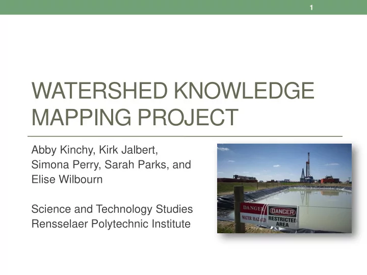

1 WATERSHED KNOWLEDGE MAPPING PROJECT Abby Kinchy, Kirk Jalbert, Simona Perry, Sarah Parks, and Elise Wilbourn Science and Technology Studies Rensselaer Polytechnic Institute
2 HOW ARE THE EFFECTS OF GAS DRILLING BEING MONITORED?
Objectives • Produce a comprehensive database and map of efforts to monitor watershed impacts of shale gas development in NY and PA. • Identify regions and watersheds that may require greater monitoring by governments, researchers, and the public. • Explain why water monitoring efforts are unevenly distributed across the region. • Analyze the relationships and tensions between government, academic, and private (volunteer) research efforts.
THE SHALE GAS “ BOOM ”
• Shale gas is accessible using: • High-volume hydraulic fracturing • Horizontal drilling
Shale gas wells in NY and PA • Create map of gas wells To date, New York has not allowed the use of high-volume hydraulic fracturing.
Opposing views on shale gas
9 IMPACTS ON SURFACE WATER QUALITY Both government agencies and non-government organizations (mostly volunteers) are producing environmental knowledge
Water quality impacts of shale gas development • Underground migration of methane and fluids • Accidental and intentional releases of salty, hazardous waste water into soil and streams • Water withdrawals • Spills of toxic chemicals used in drilling • Increased runoff and sedimentation due to clearing of forests, new roads
Surface water monitoring by government agencies • Who monitors? • Limitations: • US Geological Survey • Budget cuts • Multi-state river basin • Programs not designed commissions to monitor gas drilling impacts • State environmental agencies • Headwaters and smaller tributaries not typically • County conservation monitored districts • Municipal water authorities
12
Survey of watershed protection groups • Mailed to 219 non-governmental organizations in NY and PA (all known to be involved in watershed protection) • 188 responses in total • 76 are doing watershed monitoring of some kind • 24 monitoring effects of shale gas development or gathering baseline data in anticipation of shale gas development
Typical volunteer monitoring group • Budget: less than $1,000 • Indicators monitored: specific conductance, pH, temperature, visible disturbances, benthic macroinvertebrates • Frequency of monitoring: monthly (BMI less frequently) • Time investment: 1-5 hours per month • QA/QC: tool calibration, some split samples sent to a lab
15
16 VOLUNTEERS ARE FILLING GAPS LEFT BY GOVERNMENT MONITORING PROGRAMS Compare the next two maps
17
18
19 VOLUNTEERS ARE MORE ACTIVE IN SOME REGIONS THAN OTHERS Compare the two regions on the next map
21 CONTINUING QUESTIONS
22 WHY ARE GOVERNMENT MONITORING EFFORTS UNEVENLY DISTRIBUTED?
23 WHY DO SOME WATERSHEDS HAVE MORE VOLUNTEER ACTIVITY THAN OTHERS?
24 HOW DOES THE PRESENCE OF VOLUNTEER MONITORS AFFECT THE GOVERNANCE OF THE GAS INDUSTRY?
25 Research team Abby J. Kinchy Sarah Parks Is an assistant professor in the RPI Is the president and founder of Amala Science and Technology Studies Consulting, LLC, a consulting department, and PI for the Watershed company specializing in geographic Knowledge Mapping Project. She information systems (GIS). Sarah is specializes in the study of political also a PhD graduate from the RPI controversies surrounding changes in Ecological Economics Department. the systems that produce food and energy. She received her PhD in sociology from the University of Simona Perry Wisconsin-Madison. Is a consultant working to develop dispute mechanisms to address social and environmental conflicts Kirk Jalbert from energy development projects across North America. Simona was Is a third year doctoral student in the also a Mellon Post-Doctoral Scholar Science and Technology Studies at Dickinson College in Carlisle, PA. Department at RPI, and research assistant for the Watershed Knowledge Mapping Project. Kirk ’ s Elise Wilbourn research examines social and political tensions that arise when civil Is a junior in the RPI Environmental society groups use complex data to Science program. Elise has assisted support local knowledge about the Watershed Knowledge Mapping polluting industries. team throughout the entire data collection and analysis process.
26 Project funding • Funding for the Watershed Knowledge Mapping Project is provided by the Directorate for Social, Behavioral & Economic Sciences of the National Science Foundation (Award Number:1126235).
Recommend
More recommend