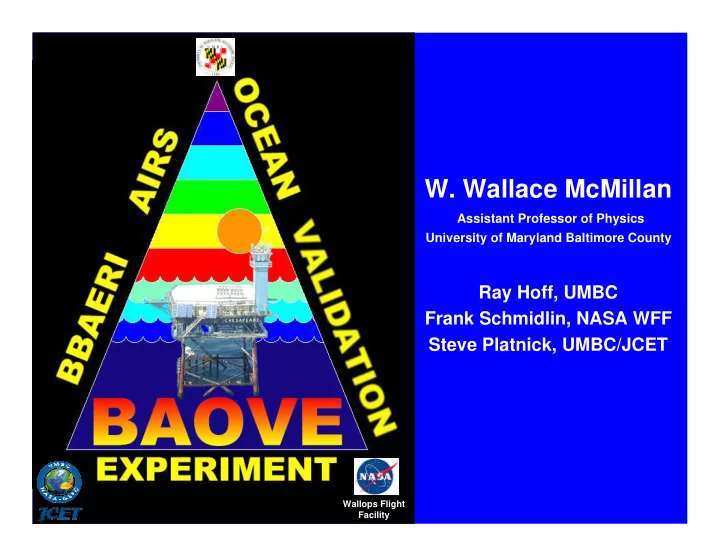

W. Wallace McMillan Assistant Professor of Physics University of Maryland Baltimore County Ray Hoff, UMBC Frank Schmidlin, NASA WFF Steve Platnick, UMBC/JCET Wallops Flight Facility
Why do BAOVE? • Ocean provides uniform surface emissivity ideal for validation of AIRS Forward Model • First AIRS Forward Model validation data required by launch + 5 months to impact first two years of AIRS processing • Years 2 and 3 provide for product validation: – T(p) – H 2 O(p) – SST – cloud-clearing – trace gases
Where is BAOVE? • Chesapeake Light USCG lighthouse platform • 25 km due east of Virginia Beach, VA • Close enough for deployment from UMBC • Far enough offshore for water only AIRS FOV
Chesapeake Light looking North (SSE side)
Chesapeake Light • NOAA NDBC instrumented site: • Full meteorological instruments including: • sea state • water temperature • NOAA GPS total precipitable water • Primary CERES Ocean Validation site: • CIMEL, shadow-band, pyranometers, etc. • Vaisala sonde launch capability • Wireless network connection to mainland • Used for CLAMS Experiment summer 2000 • Facilities to sleep 6
Bedroom Kitchen Recreation Room CERES and NOAA instruments
BAOVE Instruments 1. BBAERI: Baltimore Bomem Atmospheric Emitted Radiance Interferometer First commercial prototype AERI • In routine operation at UMBC • Radiometric validation vs. UW AERI-00 • 2. VIZ/Snow-white dew-point GPS radiosondes Frank Schmidlin, NASA Wallops • 3. ELF: Elastic Lidar Facility developed by Ray Hoff, UMBC • 4. MODIS data for sub-AIRS pixel variability Steve Platnick, MODIS team, UMBC/JCET •
BBAERI T(p), H 2 O(p) from surface to 800 - 700 mb • using UW AERI retrieval code SST in nadir • Day/night • Every 10 min • Stirling • cooled CO and O 3 • PBL • Free trop? •
BBAERI mount point: Clear ocean view Hoist boom pointing ENE below hoist boom
BAOVE Radiosondes VIZ/Snow-white dew-point GPS radiosondes • Co-I: Frank Schmidlin, NASA Wallops, • assisted by UMBC graduate students 30 launches budgeted in Year 1 • Primary launches during clearest skies • and AIRS overpass Cloud clearing validation supported as • requested and supplies allow Dual Vaisala/Viz-Snow-white launches with • CERES collaboration during best conditions.
ELF Elastic backscatter lidar • Cloud detection including cirrus • Will be validated against GSFC SRL • PBL and free troposphere aerosol profiles • Day/night profiles • MODIS on Aqua Access to Chesapeake Light granules • Investigate sub-AIRS pixel heterogeneities • Qualitative intercomparison, then… • Quantitative intercomparison with SST, etc. •
When is BAOVE? First deployment between L+60 and L+90 days • When JPL says AIRS is stable, we deploy! • Duration: up to 2 months (2-week shifts) • Until we get good validation data • Or we run out of $ • Objective: Clear sky Forward Model Val • Years 2 and 3: • ~ 3, two-week deployments per year • Spread across season/climatic conditions • Forward Model evaluation • Product validation •
BAOVE Deliverables Delivery 1-2 weeks from data collection • T(p): blended from BBAERI and radiosonde • BBAERI gives temporal/spatial variability • Radiosonde gives mid-upper trop and • high vertical resolution H 2 O(p): blended from BBAERI and sondes • cloud flag(p): ELF • aerosol backscatter(p): ELF • SST: BBAERI nadir views • trace gases: BBAERI (Years 1, 2, and 3) •
BAOVE Needs from AIRS When do we first deploy? L+60 or L+90? • AIRS overpass predictions • Not just Nadir overpasses • Off Nadir useful to improve statistics • Need to know water only lighthouse FOV’s • Radiosondes for clear overpasses! • What data format is required for delivery? • We desire access to AIRS spectra and • retrieved products from overpasses.
mcmillan@umbc.edu Graduate students at the lighthouse
Recommend
More recommend