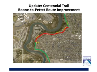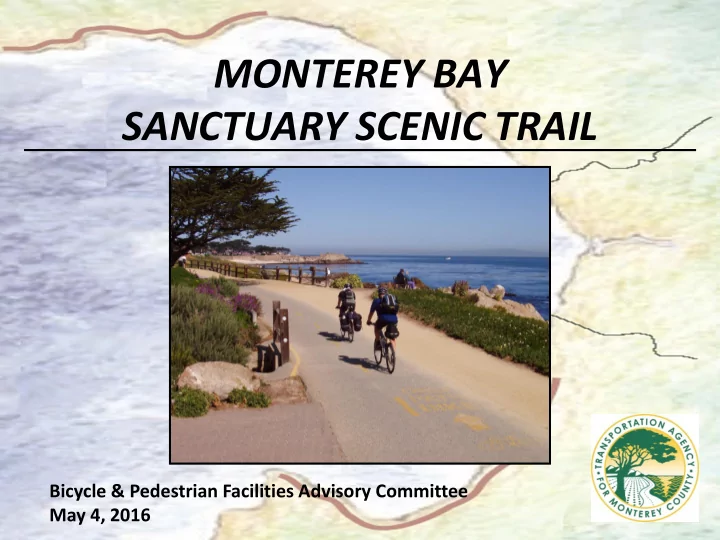
MONTEREY BAY SANCTUARY SCENIC TRAIL Bicycle & Pedestrian Facilities Advisory Committee May 4, 2016
Vision • Master Plan 2008: Multi-use recreation trail along Monterey Bay • Multi agency partnership – TAMC, Santa Cruz, AMBAG – Monterey County, Marina, Monterey, Pacific Grove, Sand, and Seaside • Connection to Santa Cruz County
Opportunities • Existing state lands, paved portions and structures • TAMC railroad • Public support
Challenges • Balance habitat and agriculture, private and public land • Water crossings and bridges • Funding • Future maintenance
Existing Monterey Bay Sanctuary Scenic Trail
Remaining Segments Monterey Bay Sanctuary Scenic Trail
Coming Soon! Segment 5: Fort Ord Dunes • Fort Ord Dunes to Hwy 1 at Marina Drive (4.31 mi) • Type: Class I • Agency: CA State Parks
Segment 6: Marina State Beach • Length: Hwy 1 at Marina Dr to Sand Dunes Dr in Marina (1.55 mi) • Type: Dune Trail and Class I • Agency: Marina and County
Segment 7: Marina Trail • Length: Sand Dunes Dr in Marina to Lapis Road (.85mi) • Type: Dune Trail and Class I • Agency: Marina and County
Segment 8: Salinas River • Length: Lapis Rd and Del Monte Blvd to Nashua Rd (2.25 mi) • Type: Class I • Agency: County and TAMC
Segments 9, 10, 11, and 12 • Length: Salinas River area including Lapis Rd and Del Monte Blvd to Salinas River State Beach • Type: Class I • Agency: County, TAMC, US Fish & Wildlife, CA State Parks
Segments 13 and 14 • Length: Monterey Dunes to Moss Landing • Type: Dune trail and Class I • Agency: County, TAMC, US FWS, CA State Parks
Coming Soon! Segment 15: Moss Landing • Length: Moss Landing area to Hwy 1 and Jetty Rd (1.32 mi) • Type: Class I and II • Agency: County, Moss Landing, CA State Parks
Segment 16: Zmudowski • Length: Hwy 1 and Jetty Rd to Trafton Rd and Pajaro River (3.37 mi) • Type: Class I • Width: 12 feet • Agency: County, Moss Landing, CA State Parks
Segment 17: Pajaro River • Length: Trafton Rd and Pajaro River to McGowen Thurwachter Bridge (1.81 mi) • Type: Class I • Agency: County, Moss Landing, CA State Parks
Next Steps • Environmental, right-of-way and design for remaining segments • Seek funding • Complete remaining segments
Questions?
Recommend
More recommend
Unleash a World of Digital Possibilities—Browse, Share, and Explore Content Without Boundaries