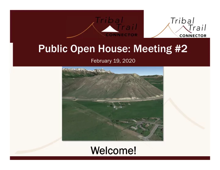

Public Open House: Meeting #2 February 19, 2020 We Welcome!
Planning Context TT Connector identified in the following studies: » 1982 R/UDAT study (northern South Park study) » 1991 Teton County Transportation Plan » 1992 Indian Springs Plat » 2000 Teton County Transportation Plan » 2009 Teton County Transportation Plan » 2012 Jackson/Teton County Comprehensive Plan » 2015 Integrated Transportation Plan(ITP)
Planning Context One of the many capital projects in the 2015 ITP to address traffic congestion, lack of roadway redundancy and expanded multimodal connectivity. » TT Connector study is guided by a Project Charter process » Stakeholders, public comment & several public meetings » In 2018, Commissioners voted to move the study forward - Develop and evaluate design alternatives - Bring preferred alternative that meets project purpose, need and objectives to the Commissioners so they can determine if they would like to move the project forward
Purpose & Need: Transportation improvements Transportation improvements would address Study Area needs: » provide travel/route redundancy » improve emergency response » reduce vehicle miles of travel (VMT) associated with circuitous routing of traffic » reduce local trips through the Y intersection » provide improved transit connections
1) Provide Travel Redundancy Ability to provide multiple ways in or out of an area Currently, our community is served by and dependent on a single intersection - the Y. This lack of redundancy results in: » Increased risk of catastrophic occurrences due to natural and/or manmade incidents » Longer travel time for motorists, including transit and emergency service providers, between US 26/89, WY-22, and the study area
2) Improve Emergency Response Route redundancy would improve emergency evacuation and emergency service access Currently, the only practical route connecting South Jackson to Wilson, other West Bank communities and Idaho is through the Y intersection
Natural Hazards Map
3) 3) Reduce VMT Since 2000, most county traffic growth is by locals making short trips To manage traffic growth and reduce VMT, the ITP calls for: » more productive road and street capacity » reducing the need to expand traffic capacity in the region’s most congested areas, including West Broadway and the “Y” Intersection SOURCE SOURCE: WYDOT : WYDOT
4) Reduce Local Trips Through Y Intersection Only one route (WY-22) connects the communities of Wilson, Teton Village, and eastern Idaho to US-26/89; “Y” intersection is where these highways meet Per ITP - reduce local trips through the Y intersection by using less circuitous travel routing TT Connector intended for local trips and not for use by highway traffic diverted off the state route (25MPH design speed and traffic calming measures)
5) Provide Expanded Multimodal Connections Provide START and school buses with a more efficient, more direct and less expensive connection to schools Com Comp Plan Principle 7 Plan Principle 7.2: 2: “Create a safe, efficient, interconnected, multimodal transportation network.” ITP desired policy scenario: ITP desired policy scenario: over five percent of daily trips made in Teton County (including Jackson) in 2013 will shift from single- occupant vehicle trips to walking, bicycling, and transit trips by 2035
Natural Hazards Map
Project Objectives The Project Charter identifies the Project Objectives: » Roadway Network Compatibility » Multimodal Function » Safety » Environmental Protection » Cost Effectiveness Stakeholder input was used to refine Project Objectives into the criteria used for evaluating the alternatives. » Minimizing environmental impacts (e.g. wetlands, wildlife, visual) » Minimizing private property impacts » Constructability » Maintenance, particularly for snow removal and storage
Evaluation Process The process to evaluate the alternatives was set up in coordination with the Stakeholder Advisory Committee and based on NEPA requirements Level 1 and Level 2 screening evaluation criteria based on purpose and need criteria, objectives & community values
Alternatives Process: Le Level 1 l 1 Screening Screening Used to evaluate whether alternatives meet: » the Purpose and Need; or » have a fatal flaw (e.g. irresolvable environmental impacts, not constructible) 32 initial alternatives evaluated 15 screened out
Alternatives Process: Level 2 Compares how well alternatives meet Purpose and Need and Study Objectives while balancing environmental effect. Alternatives that perform the best based on the Level 2 screening criteria are fully evaluated in the Environmental Assessment along with the No- Build Alternative. » 17 alternatives evaluated; 5 dismissed due to low ratings » 12 recommended for public comment
Alternatives
Alternatives
Alternatives
Alternatives
PHOTO SIMULATIONS Existi Existing and Pr and Propo oposed T Tribal T ibal Trail ail R Road near Seneca ad near Seneca 35’ Existing Width Note: Traffic calming measures shown are 26-29’ Proposed Width illustrative; specific measures would be determined based on public input and design considerations.
Alternatives Pr Propo oposed T Tribal T ibal Trail ail Connec Connector near Cher near Cherok okee Note: Traffic calming measures shown are illustrative; specific measures would be determined based on public input and design considerations .
Environmental Process An Environmental Assessment (EA) will be prepared in accordance with the National Environmental Policy Act (NEPA) and County land development requirements.
EA Resources EA would review existing, future, impacts to, and mitigation for the following resources: » Land Use and Zoning » Social Resources » Economic Resources » Transportation and Traffic » Right-of-Way » Farmlands » Air Quality » Noise » Water Resources and Water Quality » Floodplains
EA Resources cont. EA would review existing, future, impacts to, and mitigation for the following resources: » Vegetation and Noxious Weeds » Wildlife and Fisheries » Wetlands and Waters of the U.S. » Threatened and Endangered Species » Visual Resources » Cultural Resources » Hazardous Materials » Wild and Scenic Rivers » Parks and Recreation Facilities » Construction Impacts and Mitigation
Questions?
Recommend
More recommend