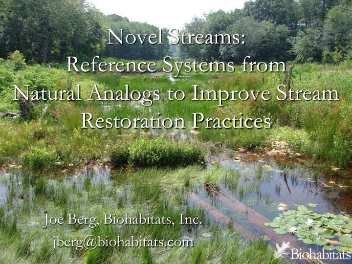

Novel Streams: Reference Systems from Natural Analogs to Improve Stream Restoration Practices Joe Berg, Biohabitats, Inc. jberg@biohabitats.com
Perspe pective ve
Beav eaver d dams ams ver ery c y commo mmon on lan andscap ape—Us Usef eful A l Analo log?
The modern, incised, meandering stream is an artifact of the rise and fall of mid-Atlantic streams in response to human manipulation of stream valleys for water power. (Walter, R., & Merritts, D. (2008). Natural streams and the legacy of water-powered mills. Science, vol. 319.)
How Have We Influenced Our Streams? ► We have changed watershed hydrology More, faster water for shorter duration Reduced perenniality ► We have changed the drainage network Loss of 85% of our 1 st and 2 nd order streams Conversion of ‘material processing’ streams to conveyance systems ► We have changed sediment regime Colonial land clearing Channel adjustment major sediment source
Our Broken Stream Systems Function as Major Sources & Conveyors of Sediment Nitrogen & Phosphorus Zone of Erosion/Transport Zone of Deposition Adapted from Kondolf, M. (1997). Environmental Management, 21, 533-551.
Sediment from Stream Channel Erosion, NOT Sediment from Watershed Supply Source: Expert Stream Panel Report, Stack 2013
Stream Restoration Practice ► Contemporary reference stream reach is used to develop ‘template’ for stream restoration Establish physical restoration goals from measurements of ‘undisturbed’ or ‘minimally disturbed’ or ‘mostly recovered’ reference reaches ► Is this a reasonable practice? Can we expect to find non-impacted streams based on hundreds of years of anthropogenic modifications? How would we know if we saw it?
What is the Alternative? ► Understand historical landscape ecology Don’t ignore hundreds of years of anthropogenic influence ► Temporal reference system ► Not turning the clock back to restore historic conditions, that isn’t possible ► Use understanding of historic conditions to identify restoration elements that help us meet restoration goals ► Spatial reference system as part of process
http:/ / www.fws.gov/ chesapeakebay/ Newsletter/ Fall11/ Pyramid/ pyramid_-overview.jpg
Red = upstream conveyance channel Black = regenerative stream channel Source: Solange Filoso, University of Maryland
Source: Solange Filosa, University of Maryland
Source: Solange Filosa, University of Maryland ‘Super storm’ Sandy
25 Water temperature (Centigrade) 24 23 22 21 20 19 18 17 Aug to Sept 2011 control restored Solange Filoso, University of Maryland
Source: Solange Filoso, University of Maryland
Tributary to Rock Creek Washington, DC February 2011 Pre Restoration ~ 8 ft I ncised
Tributary to Rock Creek Washington, DC October 2011 Connected to Riparian Zone
5-ft incised
Que uestion tions? s? Jberg@ g@bi biohab abitat ats.c .com
Recommend
More recommend