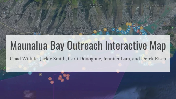

Maunalua Bay Outreach Interactive Map Chad Wilhite, Jackie Smith, Carli Donoghue, Jennifer Lam, and Derek Risch
Problem Statement NREM 601 projects Written publications Spatial data Interactive Outreach Map and Database
Project Objectives (1) Develop easy-to-use interactive map outreach tool to collectively display information relevant to Maunalua Bay users (2) Create accessible database for community members to view and download data compatible with free software (3) Develop a process for community members to contribute to interactive map and allow interactive map to last in perpetuity
Methods Google Suite provides an integrated and streamlined approach for database management, community feedback, and project continuity
Google Forms for Community Submissions
Google Docs Support Tool
Interactive Map (live link)
Support Resources M ā lama Maunalua 7192 Kalanianaole Hwy. Suite A143A 808-395-5050 volunteer@malamamaunalua.org http://www.malamamaunalua.org/ UH M ā noa NREM 601 Research https://scholarspace.manoa.hawaii.edu/handle/10125/45367 Questions?
Issues to Address Database Management and Spatial Data - Gaps between spatial data and information relevant to data point (e.g. No information or source other than data point label) Google Suite Basic - Unable to create Google Maps document on University emails - Data storage limited under Google Suite Basic package
Findings Knowledge gaps & Potential future research Terrestrial data, Urbanization effects, Pollutants, Cultural/Historical Data ● Data Criterion Inconsistencies in meta-data ● Creating networks of accessible, relevant knowledge Potential for increased collaboration and community involvement in the research ● and management of Maunalua Bay
Recommend
More recommend