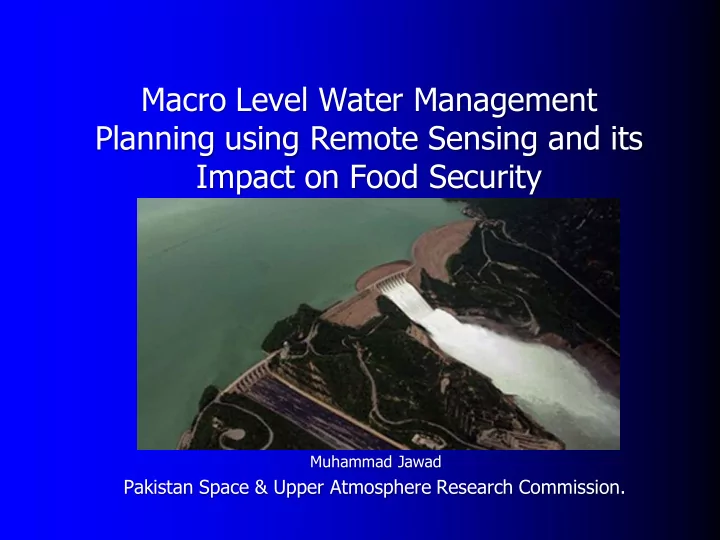

Macro Level Water Management Planning using Remote Sensing and its Impact on Food Security Muhammad Jawad Pakistan Space & Upper Atmosphere Research Commission.
Flood at Tori Embankment Army Rescue Operation
Flood Affected Homeless People , Sindh,2010.
Flood Affectees, Kot Addu,2010 .
This is a pilot study to explore the feasible sites through SRS/GIS technology from where the flood water can be diverted and managed to reduce flood risk and store it for productive use.
OVERVIEW Tarbela is the major dam on river Indus. Its storage capacity has been reduced to about 2/3 rd and there is an urgent need of planning to increase the water storage capacity and reduce its wastage. For the purpose more water reservoirs are required.
Whenever there are heavy rains these convert into huge floods. These Floods • are needed to be controlled and diverted to the areas where it cause least damage to population as well as agriculture. Chashma Jhelum Link Canal from Chashma Barrage will Carry the Flood Water • and From Adhi Kot Bridge at Chashma Jhelum Link Canal the new Canal will be Built to make this water reach to the proposed reservoir Site.
SIGNIFICANCE Pakistan is an agricultural economy and growing population demands more and more land to be cultivated that in turn requires more water. Thousands of acres of land is uncultivable due to water deficiency and mostly unavailability. The area where the flash flood water will be diverted and stored can provide them drinking water as well as their food requirements.
TECHNIQUES This entire study has been carried out RS/GIS frame work. The data used is Landsat TM, Spot-5 and DEM. Contour based Surface Elevation Modeling Settlements and Population Saturation
Command Area: A significant amount of water including that due flash flood can be diverted and injected in to Jhelum river area by using this command area.
Topographic Gradient Modeling Regional Topographic Gradient Model has been developed
Elevations at the Contact of Eurasian and Indian Plate
GPS Elevations taken at Adhi Kot at Chashma Jhelum Link Canal and within Proposed reservoir area
Ground Truthing at the Entrance of Proposed Reservoir
Point of 164 m Elevation from MSL near Daduwala Village, Tehsil Nur Pur.
Study Area Contain 6 Major Settlements with total Area 3.6 Sq Km and Average Area 0.6 Sq km. Estimated Population is 3600 people
There are 46 Small Settlements in our study area and their total area is 1.07 Sq. km with average area 0.02 Sq. Km. Estimated Population of Smaller Settlements is 1000 people
Population Estimation Population Estimates are made statistically and by the information collected from local people Total Area of Settlements in the Study Area=4.67 Sq. Km In Study Area 1 Sq. Settlement contain= 100 Homes Each Home Contain = 10 People 4.67 Sq Km Area will have = 467 Homes So Toatal No Of People = 4670 People
Thanks
Recommend
More recommend