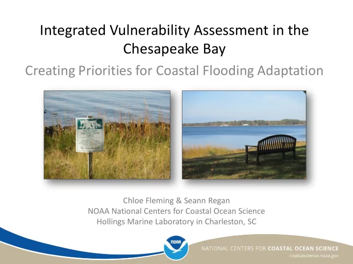

Integrated Vulnerability Assessment in the Chesapeake Bay Creating Priorities for Coastal Flooding Adaptation Chloe Fleming & Seann Regan NOAA National Centers for Coastal Ocean Science Hollings Marine Laboratory in Charleston, SC
Introduction to the Project Goal: assess the climate • Social Social change vulnerabilities of the • Economic social, structural, and ecological systems • Residential Structural Purpose: science-based • Commercial information to help identify adaptation areas for coastal flooding risks for more • Natural resources Ecological resilient communities • Land cover
Integrated Vulnerability Assessment Framework 1. Assess Vulnerability 2. Assess Flood Risk 4. Prioritize Adaptation Areas 3. Intersect Flood Risk and Vulnerability
Site 1: Town of Oxford and Talbot County, MD Talbot County Town of Oxford
Site 2: Choptank Habitat Focus Area, MD & DE • Extension to larger Chesapeake Bay area • NOAA designated Habitat Focus Areas • Protect and manage deteriorating natural habitats • Watershed-level management
Methods & Analysis Identified vulnerabilities Identified flood risks • Social vulnerability • Sea level rise • Structural vulnerability • Hurricane storm surge • Natural resource • Stormwater flooding vulnerability (measured via potential loss of highly valued resources)
Results & Outcomes
Results & Outcomes
Results & Outcomes
Results & Outcomes
Results & Outcomes
Results & Outcomes
Applications • Support for grant applications to secure funds for adaptation and best management practices • Inclusion of social factors into county-level hazard mitigation plans • Incorporation of stormwater flood prone areas layer into local flood risk mappers • Identify areas that may be co- beneficial for community coastal flooding adaptation as well as habitat restoration
Thank you NCCOS Project Team Chloe Fleming – Coastal Scientist (team lead) • • Seann Regan – Geographer (lead analyst) Maria Dillard – Social Scientist • • Matt Gorstein – Economist • Eric Messick – Geographer • Anne Blair – Ecologist • Jarrod Loerzel – Social Scientist • A.K. Leight – Ecologist + Regional, state, and local partners Sunset on the Tred Avon River at the Cooperative For more information: Oxford Laboratory • Chloe.Fleming@noaa.gov • Seann.Regan@noaa.gov Project Page: Photo credits: Integration and Application Network, https://coastalscience.noaa.gov/projects/detail?key=214 University of Maryland Center for Environmental Science; NOAA
Recommend
More recommend