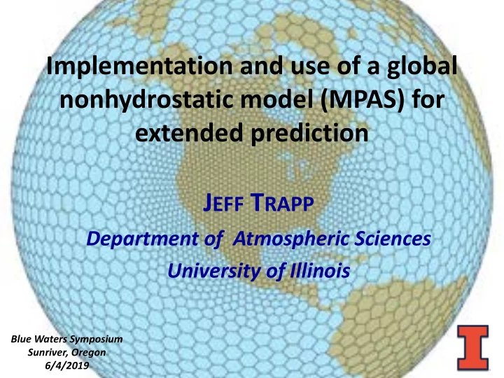

Implementation and use of a global nonhydrostatic model (MPAS) for extended prediction J EFF T RAPP Department of Atmospheric Sciences University of Illinois Blue Waters Symposium Sunriver, Oregon 1 6/4/2019
Six-day forecast for convective storms, with focus on the C-3-4 corridor 2
“Convection-allowing” prediction with a global model (MPAS) • What/why “convection-allowing”? – horizontal gridpoint spacings ~4 km • precludes the need to parameterize the effects of cumulus convection – improved convective precipitation • allows explicit representation of thunderstorm morphology, e.g., supercell thunderstorm – allows quantification of morphological attributes like updraft rotation 3
Supercell Thunderstorm U P Quantify supercell D existence using R updraft helicity (UH) A 𝑽𝑰 = $ 𝒙𝜼𝒆𝒜 F T and radar reflectivity Courtesy J. Frame, UIUC
“Convection-allowing” prediction with a global model (MPAS) • Why global? – the atmosphere is a global fluid – the alternative to global modeling is regional modeling, which requires initial/boundary conditions … from a global model • places a constraint on evolution of processes within the regional domain… 5
regional domain initial condition from global model boundary conditions from global model restricts range of internally generated processes/feedbacks 6
“Convection-allowing” prediction with a global model (MPAS) • Why global? – the atmosphere is a global fluid – regional-modeling require initial/boundary conditions from a global model • places a constraint on evolution of processes within the regional domain… – thus, a global model is better suited longer time integrations, & thus for extended range predictions 7
“Convection-allowing” prediction with a global model (MPAS) • Limitations of global modeling … – often hydrostatic • i.e., no 𝐵 in 𝐺 = 𝑛𝐵 for vertical direction … but vertical 𝐵 is at heart of our interest – the large number of global gridpoints has made it more difficult to enable convection-allowing resolution • compromise: grid refinement! 8
MPAS: M odel for the P rediction A cross S cales • Both limitations are addressed by MPAS: – nonhydrostatic and fully compressible global model, with capability for regional grid refinement (Skamarock et al. 2012, MWR ) 9
equations are discretized/solved on centroidal Voronoi (quasi-uniform, nominally hexagonal) meshes Example variable- resolution grid courtesy MPAS documentation 10
MPAS application: Operational support for RELAMPAGO operations • The RELAMPAGO Remote sensing of Electrification, Lightning, And Mesoscale/microscale Processes with Adaptive Ground Observations field campaign, was conducted in November and December 2018 in Argentina – key objective of RELAMPAGO is to understand why some of most intense thunderstorms on the planet form in southeastern South America 11
12 Courtesy S. Nesbitt, UIUC
MPAS setup • Horizontal grid spacing: 15 km (globe) – 3 km (South America) 15 km 3 km 13
MPAS setup • Horizontal grid spacing: 15 km (globe) – 3 km (South America); 41 levels – total 6488066 grid points • Daily integrations from 00 UTC Day 0 to 00 UTC Day 4 (18-s time step, hourly output) • “Convection-permitting”–suite of physical parameterizations – Grell-Freitas “scale-aware” convection scheme • MPAS-Atmosphere only – thus, need we lower bc updates … which we derive from the GFS model 14
Logistics/details of MPAS implementation 4-day fcst Daily planning Initiate pre-proc completed meeting (get GFS ic/SST bc, interp) 0730 UTC 1930 UTC 0515 UTC 1730 UTC 2100 UTC Begin model Post-proc, push to execution server 15 … thankfully, all done on a reservation
Why the need for extended range forecasts? • to avoid missing a favorable event … – ground crews: human resource limitations (~4 consecutive days); expendables (weather balloons, etc.); competing objectives – also, two domains, with 1-day transit 16
Potential success of extended range forecasts in Argentina? • Hypothesis : multi-scale atmospheric processes are strongly controlled by terrain (Andes, Sierras de Córdoba Mountains), thus contributing to higher predictability Andes SDC 17
Why Blue Waters? • stable, reliable platform • sufficient resources for this project to run at high resolution – MPAS execution: 192 nodes, ~10 hr wallclock, but daily for 45+ days • sufficient resources on machine, such that this project was not too burdensome 18
IOP4: Supercell mission on 10 November 2018 • coarse resolution global models indicated vigorous pressure trough by 10 November, which appeared supportive of supercell thunderstorms , but necessary granular details not provided by such models 19
20
simulated radar reflectivity “swath” of UH indicating supercell track Updraft Helicity 92-hr forecast (valid 20 UTC 10 Nov) 21
C 3 Cordoba radar 2020 UTC 4 22
change in evolution? 68-hr forecast (valid 20 UTC 10 Nov) 23
less organized storms… 44-hr forecast (valid 20 UTC 10 Nov) 24
C still different evolution 20-hr forecast (valid 20 UTC 10 Nov) 25
C return to a more accurate evolution! 140-hr forecast (valid 20 UTC 10 Nov) 26
Preliminary thoughts… • useful extended range guidance (even out to 6 days) for many, but certainly not all events – planned objective evaluation • degradation of guidance with time? – for shorter-range forecasts, less spinup time from coarse ic from global model? – counter to recent finding by Schwartz (2019, MWR ) in U.S. • still need comparison with regional model forecasts to determine if MPAS/global modeling adds value 27
Thanks to Ryan Mokos for his assistance in building MPAS on BW, and Roland Haas/David King for their help in setting up BW reservation Questions/comments? jtrapp@illinois.edu RELAMPAGO is sponsored by the National Science Foundation 28
Brief digression: Building MPAS on Blue Waters… • It took a while … • MPAS uses the Parallel IO (PIO) library (as used in CESM), and with help from NCAR team (Michael Duda) and NCSA’s Ryan Mokos, we determined that PIO did not install properly with PGI compilers 29
more favorable… 116-hr forecast (valid 20 UTC 10 Nov) 30
grid refinement is not a new concept, but is fundamental to the success here 31
Recommend
More recommend