Impact of recent physics changes on IFS Impact of recent physics - PowerPoint PPT Presentation
Impact of recent physics changes on IFS Impact of recent physics changes on IFS forecast performance forecast performance CY25R3 Y25R3 The recent physics changes concerne: Change in convective trigger (see former presentations)
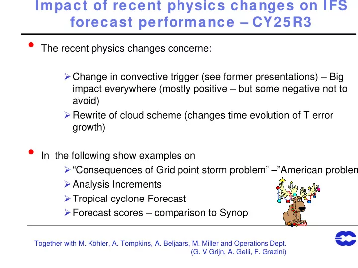
Impact of recent physics changes on IFS Impact of recent physics changes on IFS forecast performance – forecast performance – CY25R3 Y25R3 The recent physics changes concerne: � Change in convective trigger (see former presentations) – Big impact everywhere (mostly positive – but some negative not to avoid) � Rewrite of cloud scheme (changes time evolution of T error growth) In the following show examples on � “Consequences of Grid point storm problem” –”American problem � Analysis Increments � Tropical cyclone Forecast � Forecast scores – comparison to Synop Together with M. Köhler, A. Tompkins, A. Beljaars, M. Miller and Operations Dept. (G. V Grijn, A. Gelli, F. Grazini)
Mass (Z) and wind increments N.America Analysis – First Guess F. Grazzini
Data Usage
Mass (Z) and wind increments S.America Analysis – First Guess
Convective and stratiforme Precipitation – Cyclone Lilly
First Guess and Analysis – Cyclone Maysak FG oper ANA oper FG esuite ANA esuite
Cyclone Statistics Gerald v.d. Grijn
SYNOP verification Mai 2002 : Cloud Cover oper esuite
SYNOP: Mai 2002 : Precip
Verification against own Analysis: Aug-Nov 2002
Verification against own Analysis: Aug-Nov. 2002
Verification against own Analysis: Aug-Nov. 2002
Anomaly Correlation 1000 hPa: Aug-Nov. 2002 NH SH E.Asia
Case studies, starting with same Analysis CAPE OBS oper new
Case studies, starting with same Analysis CAPE OBS oper new
Analysis statistics with Temps Standard: blue Incr. Entrainm: black
Analysis statistics with Satellite: SSMI Standard: blue Incr. Entrainm: black
T verification against ERA40, august 2002 Test suite incr.entr Oper
U verification against ERA40, august 2002 Test suite incr.entr Oper
Spurious Cyclone Developmement T+18 oper esuite T+24
Brief Summary – CY25R3 Brief Summary CY25R3 Model changes had mostly positive impact � Improvement in Rainfall over Land, tropical winds, cyclone development, Analysis Increments –Grid point storms (American problem) � Tropical variability and MJO has still to be evaluated – better use of TRMM DATA � But probaly convection still overactive over West Pacific – 100 hPa Z and T increments -> slope of 100 hPa T error is determined by cloud-radiation interaction (cloud scheme) Nota: any change in convection/cloud must be carefully evaluated as � Something will always degrade +/- error evolution � Any change in model physics becomes particularly effective through analysis Cycle – Forecats only is quite conservative (more on this this afternoon)
Recommend
More recommend
Explore More Topics
Stay informed with curated content and fresh updates.
