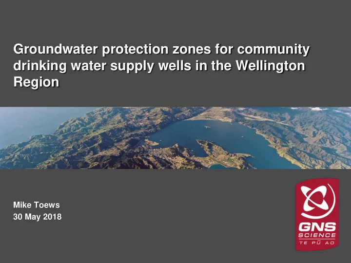

Groundwater protection zones for community drinking water supply wells in the Wellington Region Mike Toews 30 May 2018 GNS Science
Who Am I? • Mike Toews (pronounced Taves) • Studied as a Hydrogeologist and Groundwater Modeller in Canada, with a M.Sc. Degree • Over ten years of experience as a GW modeller • Employed by GNS Science since 2011 • First capture zone work from 2006, as part of my M.Sc. Degree • Developed CZs for several areas in Waikato • Developed CZs for Wellington in 2015 GNS Science
Purpose • Present mapped groundwater protection zones to drinking water supply wells • Discuss how the zones can be used to protect against discharges to land from: – Microorganisms (<1 year residence time) – Other potential contaminants that are more persistent or accumulate with distance and time § 1.1, p. 1 GNS Science
Definitions Capture zone (CZ) Total source area where water may potentially travel from Protection against non-easily degraded chemicals Protection zone (PZ) Protection against pathogens (distance/ 1-year travel time) § 1.2, p. 2 – 3 GNS Science
Attached / detached PZ Fig. 1.2, § 1.2, p. 3 GNS Science
Scope of report • Use existing GW models – Hutt Valley – Mark Gyopari’s HAM3 model – Kapiti Coast – Doug’s model – Wairarapa Valley – Mark & Doug’s FEFLOW models • Methods similar to Toews & Donath (2015) – Similar resources and uncertainty simulations – Simplified language and mapped outputs • Use PNRP Schedule M2 wells • Evaluate a range of PZ time thresholds – 1-year, 2-year, 5-year, etc. § 1.1, p. 1 – 2 GNS Science
Methods • Groundwater flow models • Particle tracking – Forwards and backwards – From groundwater table to well (saturated only) • Time-based methods – Hard science for pathogen removal based on decay rates over distance (i.e. distance-based) – PZs defined by travel time from water table to well – Conservative to include extra distance • Sensitivity analysis – Multiple models used, different flow paths – Parameters were adjusted ±25% – Simplest way to consider preferential flow pathways § 3, p. 7 – 9 GNS Science
Areas Fig. 1.1, § 1.1, p. 1 GNS Science
Hutt Valley • Model runs for 5 years, between 2007 – 2012 • Extends beneath Wellington Harbour • Simulates interaction between Hutt River, Ocean and the Wai Location WRC Well number Description Petone R27/7354 Buick Street public bore Gear Island BQ32/0033 Gear 3 Gear Island BQ32/0034 Gear 2 Gear Island BQ32/0035 Gear 1 Waterloo R27/4064 Colin Grove Waterloo R27/0001 Hautana Street Waterloo R27/4063 Bloomfield Terrace Waterloo R27/1179 Penrose 7 Waterloo R27/4057 Penrose 4 Waterloo R27/1180 Willoughby 8 Table 2.3 Waterloo R27/4058 Willoughby 5 § 2.2, p. 5 Waterloo R27/1181 Mahoe 6 GNS Science
Hutt Valley Fig. 4.1, p. 11 § 4.2, p. 10 – 11 GNS Science
Hutt Valley • Provisional PZ based on geology (Begg & Morgenstern, 2017) • SW extent where Petone Marine Beds change between thin to continuous aquitard • Boundary can be refined (Begg) S42A Loe (2018) p. 55 – 57 GNS Science
Kāpiti Coast • Longest running model, 19 years (1992 – 2011) • Simulates several aquifers, 38 km long Location WRC Well number Description Ōtaki R25/5228 Rangiuru Road Bore Ōtaki R25/5235 Tasman Road Bore next to Ōtaki River Hautere S25/5379 next to Ōtaki River Hautere S25/5443 K4 – Cooper 1 Waikanae R26/6291 K5 – Ngā Manu Waikanae R26/6293 Waikanae R26/6299 K12 Kb4 – Landfill Waikanae R26/6307 Waikanae R26/6311 KB7 Waikanae R26/6559 Otaihanga Bore PW1 Waikanae R26/6664 Otaihanga Bore PW5 Rangihiroa – not implemented Waikanae R26/6666 K10 – Market Garden Waikanae R26/6804 K6 – Wooden Bridge Table 2.4, p. 6 Waikanae R26/6839 Waikanae R26/7255 N2 § 2.3, p. 5 – 6 Paekakariki R26/7158 adjacent to water treatment plant GNS Science
Ōtaki Fig. 4.2 § 4.3, p. 12 GNS Science
Hautere Fig. 4.3, p. 13 § 4.3, p. 12 – 13 GNS Science
Waikanae Fig. 4.4, p. 14 § 4.3, p. 13 – 14 GNS Science
Paekakariki Fig. 4.5, p. 15 § 4.3, p. 14 – 15 GNS Science
Wairarapa Valley • Three separate FEFLOW models • 15 to 16 years (1992 to 2007/2008) Model Location WRC Well number UV Opaki T26/0259 UV Masterton T26/0243 UV Masterton T26/0549 UV Wainuioru T26/0492 UV Wainuioru T26/0493 MV Carterton S26/0705 MV Carterton S26/0824 MV Carterton S26/0919 MV Greytown S26/0880 MV Greytown and Featherston BP33/0008 MV Greytown and Featherston BP33/0009 MV Greytown and Featherston BP33/0022 LV Martinborough S27/0396 LV Table 2.5 Martinborough S27/0404 LV Martinborough S27/0695 § 2.4, p. 6 LV Martinborough S27/0910 GNS Science
Masterton Fig. 4.6 § 4.4, p. 16 GNS Science
Carterton Fig. 4.7, p. 17 § 4.4, p. 16 – 17 GNS Science
Greytown and Featherston Fig. 4.8, p. 18 § 4.4, p. 17 – 18 GNS Science
Martinborough Fig. 4.9, p. 19 § 4.4, p. 18 – 19 GNS Science
Discussion • Different sizes and shapes of PZs • Overconservative, but targeted to cover land where groundwater may flow to a well • Groundwater sourced from: – Rainfall recharge from land surface – Surface water recharge from streams, rivers • Drinking water standard requires groundwater to have at least 1-year residence time • National Environmental Standard (NES) is legislation to preserve drinking water quality § 5, p. 20 – 21 GNS Science
Recommendations • 1-year PZs can be used to protect against microorganisms • Older PZs can be used to protect against other contaminants with longer filtration or decay times • Detached PZ may require an additional arbitrary fixed radius zone around wellhead (min. 5 m) • PZs should be re-evaluated with new models, information, wells, pumping scenarios, etc. § 6, p. 23 GNS Science
Questions Mike Toews m.toews@gns.cri.nz GNS Science
Recommend
More recommend