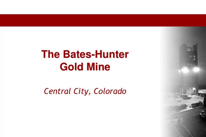

The Bates-Hunter Gold Mine Central City, Colorado
The Bates-Hunter Gold Mine Aerial photograph of the Mine Air photo of the Bates-Hunter Mine area. Contour interval 40 feet. Mineral rights (approximately located) outlined in red.
The Bates-Hunter Gold Mine Claim Map Land Status Map showing proposed drill targets and approximate claim boundaries. (July 2006)
The Bates-Hunter Gold Mine Highlights • Site of the initial Colorado Gold Rush from the mid-1800s with historic production of 4+ million ounces from the area – 25% from the immediately surrounding properties including the Bates- Hunter • A number of years were taken to consolidate the land holdings by the current owners • Fully permitted : Water Discharge, Mining and Mill • Modern state-of-the-art water treatment facility with excess capacity available to the municipality and/or state • Shaft, Hoist Room, Mine Dry, Work Shop in place and serviceable • Workings down to the 800 ’ level with confirmation of veins to depth; contiguous properties have been mined to 2100-2200 feet • Very high historic grades in the order of 0.50 oz/t • Potential for 1 million+ ounce resource with additional upside potential • Dewatering of shaft tested to a depth of 500 ’
The Bates-Hunter Gold Mine Water Treatment Plant
The Bates-Hunter Gold Mine Bates Vein Section
The Bates-Hunter Gold Mine Lower Level Assay Map
The Bates-Hunter Gold Mine Diamond Drill Hole BH07-07 (8/8/07)
The Bates-Hunter Gold Mine Results of Surface Drill Program
The Bates-Hunter Gold Mine Bates Vein Section
The Bates-Hunter Gold Mine Cross Section: DDH BH06-02, 03, & 04
The Bates-Hunter Gold Mine Cross Section: DDH BH07-07, 08
The Bates-Hunter Gold Mine The Mine and Water Treatment Facility
The Bates-Hunter Gold Mine Core Sample
Recommend
More recommend