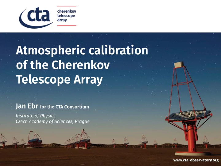

Atmospheric calibration of the Cherenkov Telescope Array Jan Ebr for the CTA Consortium Institute of Physics Czech Academy of Sciences, Prague www.cta-observatory.org
CTA: a precision VHE gamma-ray observatory • goal: systematic uncertainty in gamma photon energy <10 % • strict „budget“ for uncertainties due to the atmosphere: - Cherenkov light creation: 2 % - molecular extinction: 1 % ▶ molecular profile : GDAS, ECMWF + radio-sonde validation - slower evolution, long-time characterization - cirrus layers extinction: 1-2 % - boundary layer extinction: 1-2 % ▶ aerosols : Raman Lidar, FRAM (F/Photometric Robotic Atmospheric Monitor), CTC (Cherenkov Transparency Coefficient) - time-scales of minutes, continuous monitoring - ozone absorption 2/14
CTA: an efficient and safe observatory • dynamic scheduling for better effective duty cycle - cloud position and movement prediction: All-Sky Cameras (ASC) - cloud height: Ceilometer - high-altitude clouds affect mainly low-energy showers • weather monitoring and forecast system to ensure safety of instruments and humans - 3 central 10-meter towers with anemometers and weather stations - additional towers to measure wind across the array - maximum reliability, array GUI integration • advance site characterization - weather stations + 30-meter tower for wind profile - ASC, Sun/Moon Photometer - FRAM, ARCADE Lidar 3/14
Raman Lidars poster: GA040 G. Vasileiadis • atmospheric extinction profile • 355 and 532 nm lasers, Raman to 18 km, elastic to 25 km • 1 in North, 2 in South • French (LUPM), Spanish (IFAE/UAB) and Argetinian (CEILAP) being unified • long-term tests on La Palma from later this year to finalize the design IFAE/UAB CEILAP LUPM 4/14
FRAM robotic telescopes • integral extinction across the CTA field of view using stellar photometry • 15×15 degree extinction map every 60 s with ~0.03 OD precision - define time slots with constant atmospheric conditions • 135 mm lens, 36×36 mm CCD camera, robotic equatorial mount • 1 in North, 2 in South 5/14
20 Apr–9 May 0.4 24–27 Feb scanno. VAOD 200 180 160 140 120 100 80 60 40 20 0 0.35 FRAM: site characterization 0.25 0.2 0.15 0.1 0.05 0.3 • scans in altitude: self-calibration and precision aerosol data (VAOD) • advance deployment on sites to study aerosol variability - shipment on the way to Chile - finalizing papers in La Palma • setups tested in Prague 6/14
All-Sky Cameras • detection of clouds across the entire sky using star visibility - also limited photometric determination of extinction • all-sky cloud map every 60 s - dynamic online scheduling • 4.5 mm lens, 15×15 mm CCD camera 7/14
ASC: site characterisation • learn about cloud types and typical movement • La Palma since 10/2015, Chile since 11/2015 - small, autonomous, reliable outdoor device: easy and fast to deploy 8/14
Ceilometer • Vaisala CL51 commercial IR Lidar - height for clouds detected by ASC • up to 3 layers, up to 13 km distance • widely used at airports etc. - sold fixed vertical; for CTA an alt-az mount designed 9/14
ARCADE Raman Lidar poster: GA284 L. Valore • 355 nm laser, detection at 387.5 nm (nitrogen) and 407 nm (water vapor) • characterize aerosol profiles on sites in preparation for the full CTA operation - data used as input for MC simulations of different atmospheres - cross-calibration with CTA Raman Lidars and other instruments • ship to La Palma before end of 2017, after 1 year move to Chile 10/14
Recommend
More recommend