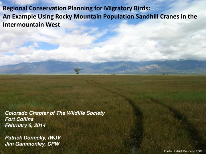

Regional Conservation Planning for Migratory Birds: An Example Using Rocky Mountain Population Sandhill Cranes in the Intermountain West Colorado Chapter of The Wildlife Society Fort Collins February 6, 2014 Patrick Donnelly, IWJV Jim Gammonley, CPW Photo: Patrick Donnelly, 2008
Intermountain West Joint Venture (IWJV) Established in 1994 Largest U.S. Joint Venture
Donnelly and Vest. (2012) Identifying Science Priorities 2013 – 2018 • Principles and framework • Habitat prioritization • Wetland focal strategies
Ownership: All Ownership: Palustrine wetland
Leu et al. (2008), Donnelly and Vest (2012) • Disproportionate impact on wetland dominated landscapes Hansen et al. (2002) • Dramatic human growth/development in West over past 20 yrs. • Increased development reduces avian viability even within adjacent reserves McWethy & Austin (2009) • Increased development pressures negatively influencing breeding habitat quantity and quality Mitchusson 2003 • Development pressure limiting foraging and roosting habitat
Yampa Valley, CO Humboldt River Valley, NV Beaverhead Valley, MT
Measuring landscape change: • Quantify 30 years of spatio-temporal trends in wetland habitats • Correlate changes in wetland habitat availability to land use practice and water policy • Measure trends in subdivision and project future subdivision risk • Measure changes in cropping patterns
• High spatial proximity - fall staging and breeding sites (Drewien and Bizeau 1974) • 72 fall staging sites • San Luis Valley major staging site • Middle Rio Grande major wintering site
Taking a top down approach to information needs: Detailed model identifying the extent and distribution of sandhill crane (RMP) Phase 1: Define potential RMP habitat extent habitats Spatially explicit evaluation of near- Phase 2: Characterize habitats by term (1984 – present) annual measuring near-term ecological condition and anthropogenic trends wetland condition and cumulative human impact within the RMP Phase 3: Identify distribution and habitat extent. magnitude of landscape Identification and spatially explicit measure of stressors magnitude and trend of landscape stressors affecting the RMP. A detailed GIS layer identifying existing and potential future habitat availability will be provided.
Example: sage-grouse late brooding rearing habitat delineation (Donnelly et al. in review)
Example: crop inventory model completed for Middle Rio Grande Valley, New Mexico (Donnelly 2005). USGS DOQ – acquired 1982 Landsat TM NDVI Habitat sampling units NAIP – acquired 2011
Example: exurbanization occurring in the Teton Basin, near Victor ID between 1982 and 2011. 1982 Landsat TM NDVI 2011 Habitat sampling units
Exploring landscape stressors: • 30 satellite transmitters deployed 2014 • Habitat configuration modeling • Resource selection parameters
Closing the research information gap: • Local scale resource prioritization tools • NRCS practitioners • Land trust • FWS Partners Program • TNC • Ducks Unlimited…
Closing the research information gap: • Local scale resource prioritization tools • NRCS practitioners • Land trust • FWS Partners Program • TNC • Ducks Unlimited… • Conservation planning • State Wildlife Agencies (SWAP) • USFS, BLM • CPW Wetlands Conservation Program
Contributing partners (to date):
Funding overview: $100,000 IWJV Science $115,000 Webless funding/USFWS $20,000 Avian Science Center $10,000 APLIC -$30,000 Outstanding $325,000 Total 190 million acres 2-3 year timeframe Cooperative Ecosystem Studies Unit (CESU) - Rocky Mountain Region
Project Contacts: Patrick Donnelly PI - Breeding/Staging Areas IWJV / USFWS Division of Migratory Birds Missoula, MT 406.493.2539 – patrick_donnelly@fws.gov Dan Collins PI – Wintering Areas USFWS Division of Migratory Birds Albuquerque, NM 505.248.6881 – dan_collins@fws.gov
Questions?
Recommend
More recommend