
SLIDE 1
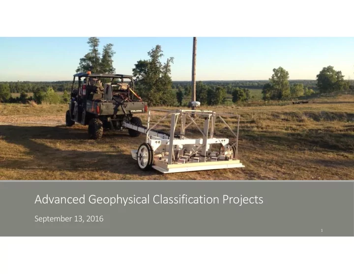
Advanced Geophysical Classification Projects
September 13, 2016
1
Advanced Geophysical Classification Projects September 13, 2016 1 - - PowerPoint PPT Presentation
Advanced Geophysical Classification Projects September 13, 2016 1 Advanced Geophysical Classification Advanced EMI sensors utilize multiple transmitter and receiver coils to acquire data from numerous angles and positions Rich dataset can
1
and positions
depth or orientation
anomaly sources as targets of interest (TOI) or non‐TOI prior to intrusive investigation
therefore be safely left in the ground
2
larger MEC items) will be investigated with cued MetalMapper survey
3
4
5
6
anomaly density and evidence of MEC with sensitive fuzes
with sensitive fuzes
(both EM61 and OPTEMA)
7
8