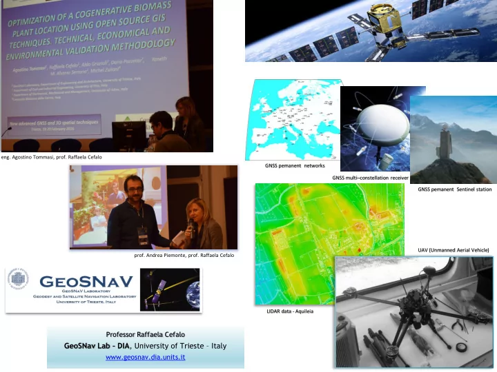

eng. Agostino Tommasi, prof. Raffaela Cefalo GNSS pemanent networks GNSS multi – constellation receiver GNSS pemanent Sentinel station UAV (Unmanned Aerial Vehicle) prof. Andrea Piemonte, prof. Raffaela Cefalo LIDAR data - Aquileia Professor Raffaela Cefalo GeoSNav Lab – DIA , University of Trieste – Italy 1 www.geosnav.dia.units.it
Geodesy and Satellite Navigation Laboratory
GIS & Applications to Disaster Management
GNSS/INS (Global Navigation Satellite System/Inertial System) by MMS (Mobile Mapping System)
APPLICATION OF DIGITAL AERIAL PHOTOGRAMMETRY FROM UAV INTEGRATED BY TERRESTRIAL LASER SCANNING TO DISASTER MANAGEMENT BRCKO FLOODING CASE STUDY - BOSNIA HERZEGOVINA Gornji Zovik landslide and Vrazici landslide surveys eng. Francesco Cescutti (2016) «Application of digital aerial photogrammetry from UAV integrated by terrestrial laser scanning to disaster management - Brcko flooding case study - Bosnia Herzegovina ” GeoSNav Lab, Department of Civil and Environmental Engineering, University of Trieste.
Optimization of a cogenerative biomass plant location using open source GIS techniques CARNIA Region accessible biomass CARNIA Region logistic – travelling times isolines eng. Agostino Tommasi (2013) «Optimization of a cogenerative biomass plant location using open source GIS techniques” GeoSNav Lab, Department of Civil and Environmental Engineering, University of Trieste.
GRC-MS The Galileo Reference Centre - Member States Project WP 5.3 Field campaigns real-time e post-processing tests to assess Kinematic Galileo performances in aerial, maritime and road applications in different environmental conditions Project duration: 4 years Lead Partner : CNES Funded by GSA (European GNSS Agency) Total Budget: 7.600.000 € UNITS budget: 111.629 € Scientific responsible: prof. Raffaela Cefalo
HARMO-DATA INTERREG Project «Data harmonization for cross-border territorial management» The overall objective of the project is to strengthen the cross-border institutional cooperation capacity by encouraging public institutions and key spatial planning stakeholders to develop common solutions for a coordinated and effective management of the cross-border area . The goal of the project is to achieve an integrated platform for the cross-border spatial data harmonization and a management protocol implementation, which will be signed by representatives of competent public institutions in the project area. Started on 19 September 2017 - duration: 18 months Partners: Geodetski Inštitut , Geodetska Uprava Republike Slovenije, IGEA, Insiel SpA, UNITS, Terre Srl Associated Partners: Regione Friuli Venezia Giulia, Regione Veneto, Ministero dell’ambiente e del territorio (SLO) funded by: EU - Interreg V-A Italy-Slovenje Programme Total budget: 1.120.240 € UNITS budget : 136.000 € UNITS scientific responsible: prof. Raffaela Cefalo
Recommend
More recommend